
IMAGES TAKEN NEAR TO
The Green, DAVENTRY, NN11 6UT
Introduction
This page details the photographs taken nearby to The Green, NN11 6UT by members of the Geograph project.
The Geograph project started in 2005 with the aim of publishing, organising and preserving representative images for every square kilometre of Great Britain, Ireland and the Isle of Man.

There are currently over 7.5m images from over14,400 individuals and you can help contribute to the project by visiting https://www.geograph.org.uk
Image Map
Images are licensed for reuse under creativecommons.org/licenses/by-sa/2.0
Notes
- Clicking on the map will re-center to the selected point.
- The higher the marker number, the further away the image location is from the centre of the postcode.
Image Listing (84 Images Found)
Images are licensed for reuse under creativecommons.org/licenses/by-sa/2.0
Image
Details
Distance
1
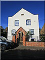
Former chapel, Byfield
Now a house.
Image: © Jonathan Thacker
Taken: 27 Sep 2021
0.01 miles
3
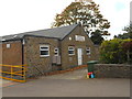
Byfield Village Hall
Just off the Village Green.
Image: © Ian Rob
Taken: 1 Oct 2011
0.02 miles
4
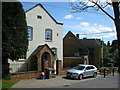
Byfield Village Club
Next to the old Chapel.
Image: © Ian Rob
Taken: 15 Aug 2008
0.03 miles
5
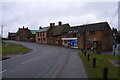
Village stores and cottages, Byfield
On the main Banbury to Daventry Road.
Image: © Andrew Smith
Taken: 26 Mar 2006
0.03 miles
7
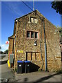
South side of Co-op Foodtsore and Post Office, Byfield
Not listed but probably of seventeenth century origin.
Image: © Jonathan Thacker
Taken: 27 Sep 2021
0.04 miles
8
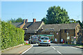
A361 through Byfield
A Co-op shop with post office on the corner.
Image: © Robin Webster
Taken: 18 Jul 2021
0.04 miles
9
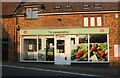
The Co-op, Byfield
This was also taken for the Co-op group on Flickr
Image: © David Howard
Taken: 20 Mar 2022
0.04 miles
10
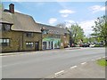
Byfield, Co-op
Post office and store on A361.
Image: © Mike Faherty
Taken: 8 May 2016
0.05 miles