IMAGES TAKEN NEAR TO
Trowell Road, NOTTINGHAM, NG8 2DS
Introduction
This page details the photographs taken nearby to Trowell Road, NG8 2DS by members of the Geograph project.
The Geograph project started in 2005 with the aim of publishing, organising and preserving representative images for every square kilometre of Great Britain, Ireland and the Isle of Man.

There are currently over 7.5m images from over14,400 individuals and you can help contribute to the project by visiting https://www.geograph.org.uk
Image Map
Images are licensed for reuse under creativecommons.org/licenses/by-sa/2.0
Notes
- Clicking on the map will re-center to the selected point.
- The higher the marker number, the further away the image location is from the centre of the postcode.
Image Listing (32 Images Found)
Images are licensed for reuse under creativecommons.org/licenses/by-sa/2.0
Image
Details
Distance
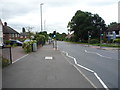
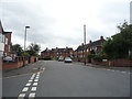
3
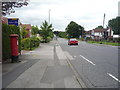
Trowell Road (A609)
Looking east showing position of Postbox No. NG8 319
Image: © JThomas
Taken: 9 Jul 2016
0.03 miles
4
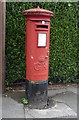
George V postbox on Trowell Road
Postbox No. NG8 319.
Image: © JThomas
Taken: 9 Jul 2016
0.03 miles
10
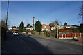
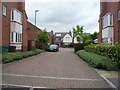
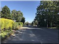
Cockington Road
Cockington Road eventually reaches the suburb of Bilborough by a very indirect route.
Image: © Malcolm Neal
Taken: 25 Nov 2021
0.11 miles