
IMAGES TAKEN NEAR TO
Camomile Gardens, NOTTINGHAM, NG7 5GB
Introduction
This page details the photographs taken nearby to Camomile Gardens, NG7 5GB by members of the Geograph project.
The Geograph project started in 2005 with the aim of publishing, organising and preserving representative images for every square kilometre of Great Britain, Ireland and the Isle of Man.

There are currently over 7.5m images from over14,400 individuals and you can help contribute to the project by visiting https://www.geograph.org.uk
Image Map
Images are licensed for reuse under creativecommons.org/licenses/by-sa/2.0
Notes
- Clicking on the map will re-center to the selected point.
- The higher the marker number, the further away the image location is from the centre of the postcode.
Image Listing (193 Images Found)
Images are licensed for reuse under creativecommons.org/licenses/by-sa/2.0
Image
Details
Distance
2
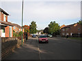
Craven Road
A housing development replacing Victorian terraces.
Image: © John Sutton
Taken: 25 Sep 2009
0.06 miles
3
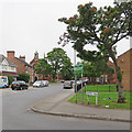
On Bobbers Mill Road
It's good to know that Hyson Green was a Britain in Bloom winner. St Stephen's church is to the left.
Image: © John Sutton
Taken: 29 Aug 2017
0.06 miles
4
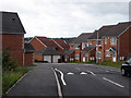
Field Maple Drive
A new development off Bobbers Mill Road, sloping down to the valley of the River Leen.
Image: © John Sutton
Taken: 3 Sep 2009
0.06 miles
5

Benchmark on #49 Bobbers Mill Road
Ordnance Survey cut mark benchmark described on the bench mark database at http://www.bench-marks.org.uk/bm47875
Image: © Roger Templeman
Taken: 31 Mar 2013
0.06 miles
6
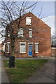
#49 Bobbers Mill Road
There is an OS benchmark Image on the corner of the house at the junction with the wall at the right hand side of the image
Image: © Roger Templeman
Taken: 31 Mar 2013
0.06 miles
7
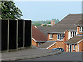
From Church to Church
Standing outside St Stephen's Church on Bobbers Mill Road and looking due west, you can see St Margaret's Church about a mile away on Aspley Lane. The houses in the foreground are on Field Maple Drive, on the slope of the Leen Valley.
Image: © John Sutton
Taken: 19 May 2010
0.06 miles
8
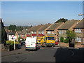
Darley Road
Leading down from Bobbers Mill Road to Plantation Side and Darley Avenue.
Image: © John Sutton
Taken: 24 Sep 2009
0.07 miles
9
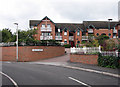
Churchside Gardens
Part of the recent developments off Bobbers Mill Road.
Image: © John Sutton
Taken: 3 Sep 2009
0.07 miles
10
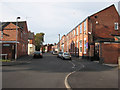
Berridge Road West
Typical mixture of terraced houses and hosiery works.
Image: © John Sutton
Taken: 25 Sep 2009
0.07 miles