
IMAGES TAKEN NEAR TO
Bonnington Crescent, NOTTINGHAM, NG5 3EZ
Introduction
This page details the photographs taken nearby to Bonnington Crescent, NG5 3EZ by members of the Geograph project.
The Geograph project started in 2005 with the aim of publishing, organising and preserving representative images for every square kilometre of Great Britain, Ireland and the Isle of Man.

There are currently over 7.5m images from over14,400 individuals and you can help contribute to the project by visiting https://www.geograph.org.uk
Image Map
Images are licensed for reuse under creativecommons.org/licenses/by-sa/2.0
Notes
- Clicking on the map will re-center to the selected point.
- The higher the marker number, the further away the image location is from the centre of the postcode.
Image Listing (77 Images Found)
Images are licensed for reuse under creativecommons.org/licenses/by-sa/2.0
Image
Details
Distance
1
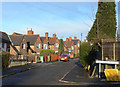
Bonnington Crescent
The Sherwood Estate was a Nottingham City Council development of the 1930s. The general layout is attractive, but roads are well below standards for today's car-driven society.
Image: © Alan Murray-Rust
Taken: 8 Mar 2009
0.01 miles
2
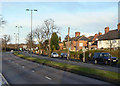
Valley Road
Constructed as a dual carriageway ring road for the city in the 1930s. Today it is a designated trunk road.
Image: © Alan Murray-Rust
Taken: 8 Mar 2009
0.03 miles
3
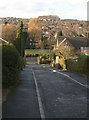
Barnby Walk
The Sherwood Estate was a Nottingham City Council development of the 1930s. The general layout is attractive, but roads are well below standards for today's car-driven society. Here the carriageway is no more than about 3 metres wide, but it is still a 2-way road!
Image: © Alan Murray-Rust
Taken: 8 Mar 2009
0.03 miles
4
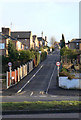
Barnby Walk
A very narrow road on Sherwood Estate, leading off Valley Road. Despite being only around 3 metres wide, this is a two way road, with a tricky junction onto a 40mph dual carriageway. The Sherwood Estate was a Nottingham City Council development of the 1930s. The general layout is attractive, but roads are well below standards for today's car-driven society.
Image: © Alan Murray-Rust
Taken: 8 Mar 2009
0.06 miles
5
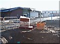
Joyce Avenue, Nottingham, NG5
The rear of the “Hopewood" NHS hub. The main entrance of this new complex is on Mansfield Road. The development will include in-patient and out-patient mental health facilities for children and adolescents and a new mother and baby unit, together with out-patient perinatal mental health facilities. It is due to open in spring 2018.
Image: © David Hallam-Jones
Taken: 26 Dec 2017
0.08 miles
6
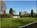
Bowling greens in Valley Road Park
To the east of Edwards Lane.
Image: © Alan Murray-Rust
Taken: 26 Jan 2022
0.09 miles
7
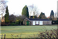
Bowling Green
Part of the Valley Road recreation Ground
Image: © Alan Murray-Rust
Taken: 8 Mar 2009
0.09 miles
8
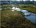
Flood alleviation of the Day Brook in Valley Park ? 2
Looking downstream from the point of flow into the park. The new bed of the stream is designed to stem the flow of water to limit flood surges downstream.
Image: © Alan Murray-Rust
Taken: 18 Jan 2022
0.11 miles
9

December flowers in Valley Road Park ? 2
Red Clover – not a flower that I would expect to see at this time of year.
Image: © Alan Murray-Rust
Taken: 2 Dec 2022
0.11 miles
10
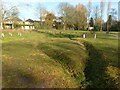
Flood alleviation of the Day Brook in Valley Park ? 4
Flood channels. The course of the stream has been designed to accumulate water during periods of high flow, to reduce the risk of flooding properties further downstream.
Image: © Alan Murray-Rust
Taken: 18 Jan 2022
0.11 miles