
IMAGES TAKEN NEAR TO
Queens Avenue, NOTTINGHAM, NG4 4DW
Introduction
This page details the photographs taken nearby to Queens Avenue, NG4 4DW by members of the Geograph project.
The Geograph project started in 2005 with the aim of publishing, organising and preserving representative images for every square kilometre of Great Britain, Ireland and the Isle of Man.

There are currently over 7.5m images from over14,400 individuals and you can help contribute to the project by visiting https://www.geograph.org.uk
Image Map
Images are licensed for reuse under creativecommons.org/licenses/by-sa/2.0
Notes
- Clicking on the map will re-center to the selected point.
- The higher the marker number, the further away the image location is from the centre of the postcode.
Image Listing (60 Images Found)
Images are licensed for reuse under creativecommons.org/licenses/by-sa/2.0
Image
Details
Distance
1
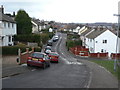
Queen's Avenue
Part of the large post-war development off Arnold Lane which was essentially a pit village for the neighbouring Gedling Colliery, although it abutted existing residential areas. The roads off this road - Philip Avenue, Elizabeth Grove, Margaret Crescent and Mountbatten Grove, and the neighbouring Kings Avenue indicate that it was built not long after the Royal Wedding in 1948.
Image: © Alan Murray-Rust
Taken: 1 Feb 2009
0.05 miles
2
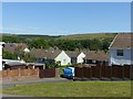
View towards Gedling Country Park
The skyline is almost entirely man made, being the landscaped spoil tips of Gedling Colliery which would have been a prominent feature from this viewpoint. The housing was developed for colliery employees.
Image: © Alan Murray-Rust
Taken: 25 May 2020
0.07 miles
3
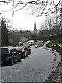
Phoenix Avenue
An astonishing contrast to Image taken just 3 minutes earlier.
Image: © Alan Murray-Rust
Taken: 1 Feb 2009
0.07 miles
4
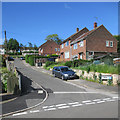
Gedling: Mountbatten Grove
Gedling was a mining village which expanded a lot after the Second World War. These houses date from the 1950s. Steep streets are characteristic of the hilly eastern side of Nottingham.
Image: © John Sutton
Taken: 3 Jun 2015
0.08 miles
5
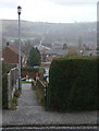
Footpath off Phoenix Avenue
A flurry of hail has greyed out the opposite side of the valley. The footpath leads through to Queen's Avenue.
Image: © Alan Murray-Rust
Taken: 1 Feb 2009
0.08 miles
6
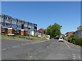
Phoenix Avenue, Gedling
Much of the area was housing for the neighbouring Gedling Colliery, with many roads named after other Nottinghamshire collieries.
Image: © Alan Murray-Rust
Taken: 25 May 2020
0.09 miles
7
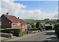
Gedling: Queen's Avenue and a view across the valley
The houses date from the early 1950s. Left of centre on the skyline is the spoil heap of Gedling Colliery, now green.
Image: © John Sutton
Taken: 3 Jun 2015
0.10 miles
8
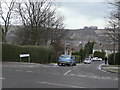
Queen's Avenue
Part of the large post-war development off Arnold Lane which was essentially a pit village for the neighbouring Gedling Colliery, although it abutted existing residential areas. The very broken terrain with relatively steep sided valleys and intervening ridges can be seen in this view. Although not obvious in this picture, the road name plate does not include an apostrophe, although the original road name does Image
Image: © Alan Murray-Rust
Taken: 1 Feb 2009
0.11 miles
9
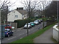
Phoenix Avenue
Part of the large post-war development off Arnold Lane which was essentially a pit village for the neighbouring Gedling Colliery, although it abutted existing residential areas.
Image: © Alan Murray-Rust
Taken: 1 Feb 2009
0.11 miles
10
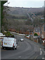
Besecar Avenue
Part of the large post-war development off Arnold Lane which was essentially a pit village for the neighbouring Gedling Colliery, although it abutted existing residential areas. On the far side of the valley, Lambley Lane climbs up through traditional farmland.
Image: © Alan Murray-Rust
Taken: 1 Feb 2009
0.11 miles