
IMAGES TAKEN NEAR TO
Greenfield Grove, NOTTINGHAM, NG4 1GG
Introduction
This page details the photographs taken nearby to Greenfield Grove, NG4 1GG by members of the Geograph project.
The Geograph project started in 2005 with the aim of publishing, organising and preserving representative images for every square kilometre of Great Britain, Ireland and the Isle of Man.

There are currently over 7.5m images from over14,400 individuals and you can help contribute to the project by visiting https://www.geograph.org.uk
Image Map
Images are licensed for reuse under creativecommons.org/licenses/by-sa/2.0
Notes
- Clicking on the map will re-center to the selected point.
- The higher the marker number, the further away the image location is from the centre of the postcode.
Image Listing (27 Images Found)
Images are licensed for reuse under creativecommons.org/licenses/by-sa/2.0
Image
Details
Distance
1
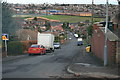
Carlton Forum from Highfield Drive
Taken from the corner of Greenfield Grove
Image: © Martin Jones
Taken: 21 Dec 2008
0.07 miles
3
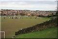
George V playing field
Sited on an old brick quarry, the red clay still shows through the grass. Photo taken from Standhill road, the grassed over spoil heap of Gedling coal pit is the highest point on the top left horizon.
Image: © Martin Jones
Taken: 21 Dec 2008
0.18 miles
4
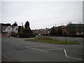
Former bus turning facility, Foxhill Road, Carlton
The junction of Foxhill Road (foreground) and Valley Road was configured to enable buses on Nottingham City Transport route 54 to turn. However, buses have not terminated here for many years, though the short cut from Foxhill Road into Valley Road is still used by buses, nowadays on route 39, which is the current main Carlton Valley service.
Image: © Richard Vince
Taken: 13 Apr 2013
0.18 miles
5
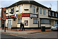
The Toby Jug
Closed pub on the corner of Cornhill Road and Carlton Hill.
Image: © David Lally
Taken: 6 Mar 2010
0.18 miles
6
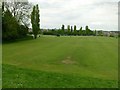
King George V playing field, Carlton
Created from a former brickworks quarry, this is one of the fields formally designated as a King George's Field, although it does not appear to have the usual heraldic plaques anywhere.
Image: © Alan Murray-Rust
Taken: 22 May 2016
0.19 miles
7
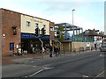
Gain one, lose one, lose one, gain one
See http://www.geograph.org.uk/photo/2427648
The Wetherspoons pub is housed in a former Co-operative supermarket building. The new building to its right is on the site of the former Toby Jug pub, and is to be - a supermarket!
Image: © Alan Murray-Rust
Taken: 4 Dec 2011
0.19 miles
8
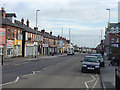
Carlton Hill shops
A local shopping centre which still has a respectable variety of shops. The shut-up appearance here is simply because it was a Sunday.
Image: © Alan Murray-Rust
Taken: 27 Jan 2008
0.19 miles
9
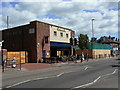
Gain one, lose one
The Free Man is a new Wetherspoon's pub created in a former Co-operative supermarket. The hoarding beyond surrounds the site of the now demolished Toby Jug http://www.geograph.org.uk/photo/1739838 . This had closed before The Free Man opened.
Image: © Alan Murray-Rust
Taken: 24 May 2011
0.19 miles
10
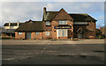
The Carlton Pub
Currently advertising for a new landlord
Image: © Martin Jones
Taken: 21 Dec 2008
0.20 miles