
IMAGES TAKEN NEAR TO
Maltkiln Close, SLEAFORD, NG34 7ZH
Introduction
This page details the photographs taken nearby to Maltkiln Close, NG34 7ZH by members of the Geograph project.
The Geograph project started in 2005 with the aim of publishing, organising and preserving representative images for every square kilometre of Great Britain, Ireland and the Isle of Man.

There are currently over 7.5m images from over14,400 individuals and you can help contribute to the project by visiting https://www.geograph.org.uk
Image Map
Images are licensed for reuse under creativecommons.org/licenses/by-sa/2.0
Notes
- Clicking on the map will re-center to the selected point.
- The higher the marker number, the further away the image location is from the centre of the postcode.
Image Listing (82 Images Found)
Images are licensed for reuse under creativecommons.org/licenses/by-sa/2.0
Image
Details
Distance
1
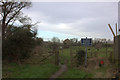
Gate on path to River Slea
Looking northwards from Boston road end of the path.
Image: © Robert Eva
Taken: 15 Jan 2020
0.06 miles
2
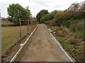
New path
I wonder what's planned for this part of the town as it seems the old track is being upgraded.
Image: © Ian Paterson
Taken: 3 Oct 2022
0.07 miles
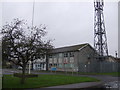
4
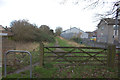
Path from Boston Road to River Slea
At the Boston Road end. The police station is on the right.
Image: © Robert Eva
Taken: 15 Jan 2020
0.08 miles
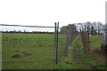
6
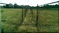
Once this was an open field
Someone has decided to mark out the route of the public footpath so as not to interfere with the sheep grazing in the field to the right. The fence is not particularly effective as it has been breached in several places.
Image: © Ian Paterson
Taken: 7 Jul 2018
0.09 miles
7

Police station sign on Boston Road
There is a large modern police station on the other side of the hedge.
Image: © Robert Eva
Taken: 15 Jan 2020
0.09 miles
8
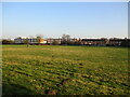
Grass field and housing, Sleaford
The grass field lies between the old and present courses of the River Slea.
Image: © Jonathan Thacker
Taken: 8 Mar 2022
0.10 miles
9
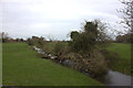
Old River Slea
Taken from the footpath from Boston Road, looking westwards.
Image: © Robert Eva
Taken: 15 Jan 2020
0.10 miles
10
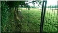
Avoiding the "ewe"phemism
"What are tup looking at?" or "What are ram looking at?" don't have the same effect but I wanted to avoid the obvious "ewe" pun!
This is part of the fenced-off route to keep walkers to the designated path.
Image: © Ian Paterson
Taken: 7 Jul 2018
0.13 miles