IMAGES TAKEN NEAR TO
Scott Willoughby, SLEAFORD, NG34 0DU
Introduction
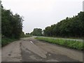
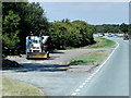
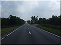
This page details the photographs taken nearby to NG34 0DU by members of the Geograph project.
The Geograph project started in 2005 with the aim of publishing, organising and preserving representative images for every square kilometre of Great Britain, Ireland and the Isle of Man.

There are currently over 7.5m images from over14,400 individuals and you can help contribute to the project by visiting https://www.geograph.org.uk
Image Map
Images are licensed for reuse under creativecommons.org/licenses/by-sa/2.0
Notes
- Clicking on the map will re-center to the selected point.
- The higher the marker number, the further away the image location is from the centre of the postcode.
Image Listing (5 Images Found)
Images are licensed for reuse under creativecommons.org/licenses/by-sa/2.0
Image
Details
Distance
5
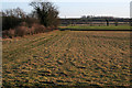
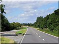
Farmland between Osbournby and Scott Willoughby
South Beck runs across the centre of the photograph, having taken a sharp turn away from Willoughby Road before it passes to the south of Osbournby.
Image: © Kate Jewell
Taken: 11 Feb 2007
0.23 miles