IMAGES TAKEN NEAR TO
Hough Road, GRANTHAM, NG32 2PA
Introduction
This page details the photographs taken nearby to Hough Road, NG32 2PA by members of the Geograph project.
The Geograph project started in 2005 with the aim of publishing, organising and preserving representative images for every square kilometre of Great Britain, Ireland and the Isle of Man.

There are currently over 7.5m images from over14,400 individuals and you can help contribute to the project by visiting https://www.geograph.org.uk
Image Map
Images are licensed for reuse under creativecommons.org/licenses/by-sa/2.0
Notes
- Clicking on the map will re-center to the selected point.
- The higher the marker number, the further away the image location is from the centre of the postcode.
Image Listing (10 Images Found)
Images are licensed for reuse under creativecommons.org/licenses/by-sa/2.0
Image
Details
Distance
3
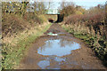
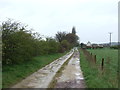
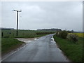
Drift Lane
Deep puddles on Drift Lane after overnight rain
Image: © Richard Croft
Taken: 13 Nov 2010
0.17 miles
4
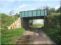
Drift Lane bridge
Carries the Grantham to Skegness railway line. Bridge No. GRS1-4.
Image: © Jonathan Thacker
Taken: 27 Apr 2014
0.19 miles
5
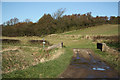
Honington Beck bridge
Drift Lane crossing Honington Beck near Barkston Gorse
Image: © Richard Croft
Taken: 13 Nov 2010
0.21 miles
6
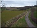
Viking way
High level view of part of the Viking Way, near to Barkston
Image: © Donnylad
Taken: 23 Mar 2007
0.22 miles
8
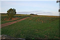
Farm track near Barkston Gorse
This square and Image boast a network of farm tracks, byways and public footpaths over undulating terrain. This all makes for interesting circular walks. The couple at the top of the hill are in the adjacent square and heading towards the handy unofficial car parking spot on Frinkley Lane.
Image: © Kate Jewell
Taken: 7 Oct 2006
0.22 miles