
IMAGES TAKEN NEAR TO
Pinfold Lane, GRANTHAM, NG32 2HR
Introduction
This page details the photographs taken nearby to Pinfold Lane, NG32 2HR by members of the Geograph project.
The Geograph project started in 2005 with the aim of publishing, organising and preserving representative images for every square kilometre of Great Britain, Ireland and the Isle of Man.

There are currently over 7.5m images from over14,400 individuals and you can help contribute to the project by visiting https://www.geograph.org.uk
Image Map
Images are licensed for reuse under creativecommons.org/licenses/by-sa/2.0
Notes
- Clicking on the map will re-center to the selected point.
- The higher the marker number, the further away the image location is from the centre of the postcode.
Image Listing (22 Images Found)
Images are licensed for reuse under creativecommons.org/licenses/by-sa/2.0
Image
Details
Distance
1
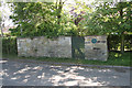
Marston pinfold
The plaque reads
Site of Marston Pinfold
circa 1700
Image: © Richard Croft
Taken: 3 Jun 2010
0.04 miles
2
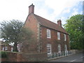
Holly Farmhouse, Pinfold Lane, Marston
Eighteenth century farmhouse. http://www.britishlistedbuildings.co.uk/en-193968-holly-farmhouse-marston-lincolnshire
Image: © Jonathan Thacker
Taken: 27 Apr 2014
0.05 miles
4
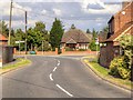
Marston, Main Street
Marston is a small village five miles north from Grantham in the South Kesteven district of Lincolnshire.
Image: © David Dixon
Taken: 4 Aug 2014
0.08 miles
5
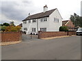
Old Post Office, Marston
Now a des res
Image: © Eirian Evans
Taken: 28 Jul 2022
0.10 miles
6
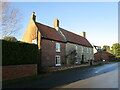
Mill Farmhouse, Marston
Eighteenth century farmhouse https://historicengland.org.uk/listing/the-list/list-entry/1062855?section=official-listing
Image: © Jonathan Thacker
Taken: 12 Dec 2021
0.11 miles
7
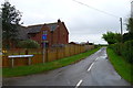
The Viking Way leaving Marston on Hougham Mill Lane
Image: © Tim Heaton
Taken: 8 May 2014
0.12 miles
8
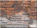
Cut Mark: Marston, Barkston Road
Cut mark on a wall close to a farm entrance. See http://www.geograph.org.uk/photo/3368548 for a wider view and http://www.bench-marks.org.uk/bm47661 for details of the mark.
Image: © Brian Westlake
Taken: 16 Aug 2012
0.12 miles
9
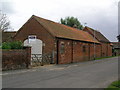
Marston, Barkston Road
Buildings of a former farm. The nearest wall carries a cut bench mark to the left of the brick pillar. See http://www.geograph.org.uk/photo/3368542 for a close-up.
Image: © Brian Westlake
Taken: 16 Aug 2012
0.12 miles
10
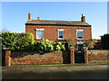
Toft House, Marston
Early nineteenth century farmhouse with a slightly older core https://historicengland.org.uk/listing/the-list/list-entry/1253514?section=official-listing
Image: © Jonathan Thacker
Taken: 12 Dec 2021
0.13 miles