
IMAGES TAKEN NEAR TO
Lambert Road, GRANTHAM, NG32 2DX
Introduction
This page details the photographs taken nearby to Lambert Road, NG32 2DX by members of the Geograph project.
The Geograph project started in 2005 with the aim of publishing, organising and preserving representative images for every square kilometre of Great Britain, Ireland and the Isle of Man.

There are currently over 7.5m images from over14,400 individuals and you can help contribute to the project by visiting https://www.geograph.org.uk
Image Map
Images are licensed for reuse under creativecommons.org/licenses/by-sa/2.0
Notes
- Clicking on the map will re-center to the selected point.
- The higher the marker number, the further away the image location is from the centre of the postcode.
Image Listing (49 Images Found)
Images are licensed for reuse under creativecommons.org/licenses/by-sa/2.0
Image
Details
Distance
1
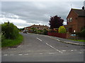
Lambert Road, Allington
Modern housing on the course of a much older track and pathway.
Image: © Anthony Vosper
Taken: 9 Jun 2012
0.06 miles
5
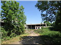
Farm buildings and mobile home. Allington
Image: © Jonathan Thacker
Taken: 30 May 2020
0.08 miles
6
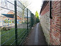
Path by the school
Links Side Street with Marston Lane.
Image: © Jonathan Thacker
Taken: 28 Mar 2016
0.09 miles
7
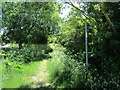
Back Lane, Allington
A restricted byway.
Image: © Jonathan Thacker
Taken: 30 May 2020
0.10 miles
9

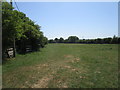
Footpath to Allington
Crosses this grass field.
Image: © Jonathan Thacker
Taken: 30 May 2020
0.12 miles
10
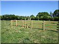
New fence and stile
It looks as if a new roadway is being built to the sewage works and this area has been fenced off to accommodate it.
Image: © Jonathan Thacker
Taken: 30 May 2020
0.13 miles