IMAGES TAKEN NEAR TO
Grange Lane, GRANTHAM, NG32 2AL
Introduction
This page details the photographs taken nearby to Grange Lane, NG32 2AL by members of the Geograph project.
The Geograph project started in 2005 with the aim of publishing, organising and preserving representative images for every square kilometre of Great Britain, Ireland and the Isle of Man.

There are currently over 7.5m images from over14,400 individuals and you can help contribute to the project by visiting https://www.geograph.org.uk
Image Map
Images are licensed for reuse under creativecommons.org/licenses/by-sa/2.0
Notes
- Clicking on the map will re-center to the selected point.
- The higher the marker number, the further away the image location is from the centre of the postcode.
Image Listing (5 Images Found)
Images are licensed for reuse under creativecommons.org/licenses/by-sa/2.0
Image
Details
Distance
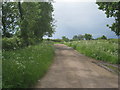
1
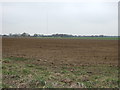
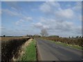
View to Hough Grange
Farmland near Hough-on-the-Hill
Image: © Richard Croft
Taken: 7 Jul 2012
0.15 miles
2
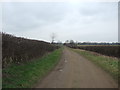
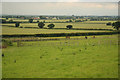
Byway to Doddington Littlegates
Part of an extensive network of byways in this area.
Image: © Jonathan Thacker
Taken: 6 Jun 2012
0.22 miles