
IMAGES TAKEN NEAR TO
Riverside Walk, GRANTHAM, NG31 9AN
Introduction
This page details the photographs taken nearby to Riverside Walk, NG31 9AN by members of the Geograph project.
The Geograph project started in 2005 with the aim of publishing, organising and preserving representative images for every square kilometre of Great Britain, Ireland and the Isle of Man.

There are currently over 7.5m images from over14,400 individuals and you can help contribute to the project by visiting https://www.geograph.org.uk
Image Map
Images are licensed for reuse under creativecommons.org/licenses/by-sa/2.0
Notes
- Clicking on the map will re-center to the selected point.
- The higher the marker number, the further away the image location is from the centre of the postcode.
Image Listing (523 Images Found)
Images are licensed for reuse under creativecommons.org/licenses/by-sa/2.0
Image
Details
Distance
1
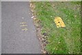
How to find a hydrant
In the absence of a kerb to mark some other way of indicating a fire hydrant has to be found.
Image: © Bob Harvey
Taken: 4 Aug 2024
0.02 miles
2
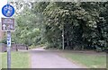
Cycle route 15
The riverside path in Grantham is also used by National Cycle Network Route 15. And the National Byway scheme (https://www.thenationalbyway.org/product/route-map-east-midlands/ )
Image: © Bob Harvey
Taken: 4 Aug 2024
0.03 miles
3
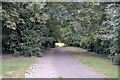
The End of the road
The paved surface here is the College Drive, which turns right before the distant style,
Image: © Bob Harvey
Taken: 4 Aug 2024
0.03 miles
5
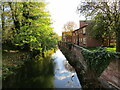
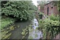
The River Witham in Grantham
Looking upstream.
Image: © Jonathan Thacker
Taken: 9 Nov 2022
0.03 miles
6
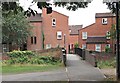
Middlemore Yard Vicinity, Grantham, Lincs.
A footbridge over the River Witham that links the Grantham College "Sedgwick" hall-of-residence vicinity with Middlemore Yard, the residential area directly ahead. The path in the foreground running parallel with the river is part of a long distance footpath/cycle route between Nottingham (31.5 miles to the left) and Sleaford (16 miles in the opposite direction). Within minutes however, as a result of a decision to turn right here, the path also skirts Sedgwick Meadows - within minutes - and is also used by locals to reach Wyndham Park, a 25-35 minute walk away in the same direction.
Image: © David Hallam-Jones
Taken: 9 Aug 2016
0.03 miles

8
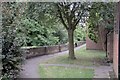
A path by the river
The wall protects walkers from falling into the adjacent River Witham. This is not "the" riverside path, which is on the opposite bank, but is part of the Riverside sheltered accommodation complex.
Image: © Bob Harvey
Taken: 4 Aug 2024
0.04 miles
9
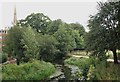
Middlemore Yard Vicinity, Grantham, Lincs.
A view from a footbridge linking an area near the Sedgwick hall-of-residence (of Grantham College) with the Middlemore Yard residential area. The 281ft spire of St Wulfrum's Church is visible in the distance and the River Witham in the foreground. The riverside walk on the right is part of a long distance footpath/cycle route between Nottingham and Sleaford, although more locally Wyndham Park can be reached following a 25-35 minutes walk ahead. The grazing pasture behind the wooden fence is known as Sedgwick Meadows, a plot that was donated to the National Trust - with nearby Grantham House - by two sisters, the Sedgwicks, in the 40's or 50s. The modern, red-brick building is Grantham's Job Centre.
Image: © David Hallam-Jones
Taken: 9 Aug 2016
0.04 miles
10
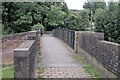
Agnes Street Footbridge
A bridge over the River Witham, near Grantham College
Image: © Bob Harvey
Taken: 4 Aug 2024
0.04 miles