IMAGES TAKEN NEAR TO
Walesby, NEWARK, NG22 9NZ
Introduction
This page details the photographs taken nearby to NG22 9NZ by members of the Geograph project.
The Geograph project started in 2005 with the aim of publishing, organising and preserving representative images for every square kilometre of Great Britain, Ireland and the Isle of Man.

There are currently over 7.5m images from over14,400 individuals and you can help contribute to the project by visiting https://www.geograph.org.uk
Image Map
Images are licensed for reuse under creativecommons.org/licenses/by-sa/2.0
Notes
- Clicking on the map will re-center to the selected point.
- The higher the marker number, the further away the image location is from the centre of the postcode.
Image Listing (11 Images Found)
Images are licensed for reuse under creativecommons.org/licenses/by-sa/2.0
Image
Details
Distance
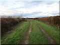
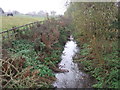
2
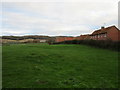
Path to Tuxford Road
Pond and Willoughby Farms ahead.
Image: © Jonathan Thacker
Taken: 27 Nov 2015
0.02 miles
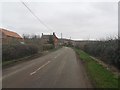
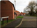
4
Lane near Pond Farm
To the south this becomes a footpath to Kirton.
Image: © Jonathan Thacker
Taken: 27 Nov 2015
0.08 miles
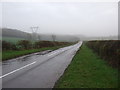
7
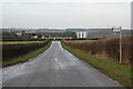
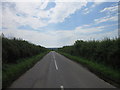
Tuxford Road
View down Tuxford Road to Willoughby Farm at Walesby
Image: © Richard Croft
Taken: 12 Feb 2011
0.13 miles