
IMAGES TAKEN NEAR TO
Chapel Lane, NEWARK, NG22 8JP
Introduction
This page details the photographs taken nearby to Chapel Lane, NG22 8JP by members of the Geograph project.
The Geograph project started in 2005 with the aim of publishing, organising and preserving representative images for every square kilometre of Great Britain, Ireland and the Isle of Man.

There are currently over 7.5m images from over14,400 individuals and you can help contribute to the project by visiting https://www.geograph.org.uk
Image Map
Images are licensed for reuse under creativecommons.org/licenses/by-sa/2.0
Notes
- Clicking on the map will re-center to the selected point.
- The higher the marker number, the further away the image location is from the centre of the postcode.
Image Listing (135 Images Found)
Images are licensed for reuse under creativecommons.org/licenses/by-sa/2.0
Image
Details
Distance
1
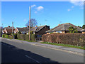
Far Back Lane, Farnsfield
A row of bungalows.
Image: © Oliver Dixon
Taken: 7 Mar 2014
0.05 miles
2
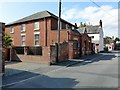
Farnsfield Methodist Church
Built c.1830 as a replacement for an earlier chapel, with added porch and facilities from c.1900.
Image: © Alan Murray-Rust
Taken: 20 Sep 2020
0.05 miles
3
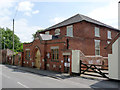
Farnsfield Methodist Church
The main chapel building was built around 1830 to replace an earlier chapel (on a different site) which had become too small. The frontage is a later addition. The gateways either side gave access to a day school which continued in use up to 1968.
Image: © Alan Murray-Rust
Taken: 1 Jun 2014
0.05 miles
4
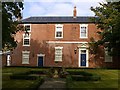
Burgess House, Farnsfield
Late 18th century, originally a house with attached cottage to the left, Listed Grade II. Combine into a single dwelling in the early 21st century.
Image: © Alan Murray-Rust
Taken: 20 Sep 2020
0.06 miles
5
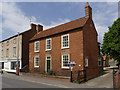
Tehidy House, Main Street
Early 19th century 3-bay house. Listed Grade II.
Image: © Alan Murray-Rust
Taken: 1 Jun 2014
0.06 miles
6
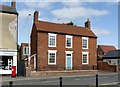
Tehidy House, Farnsfield
Early 19th century house, Listed Grade II.
Image: © Alan Murray-Rust
Taken: 20 Sep 2020
0.06 miles
7
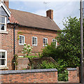
The Old School House
Rather hidden behind trees at the front of the garden, this is an early 18th century 4-bay house. Listed Grade II.
Image: © Alan Murray-Rust
Taken: 1 Jun 2014
0.06 miles
8
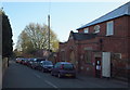
Methodist Chapel, Farnsfield, Notts.
This 'replacement' Wesleyan Reform Chapel was opened c.1829, the congregation having outgrown their first chapel off Station Lane. Access to this one was originally from Back Lane, now known as Chapel Lane.
Image: © David Hallam-Jones
Taken: 6 Dec 2014
0.06 miles
9
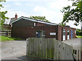
Farnsfield telephone exchange
A typical village exchange from around 1970.
Image: © Alan Murray-Rust
Taken: 1 Jun 2014
0.06 miles
10
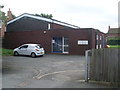
Telephone Exchange, Farnsfield
Situated in Chapel Lane, this TE, which has the code EMFARNS, is of a standard design dating from the early 1970s replacing a smaller building from the GPO era. It provides telephone and broadband services to 1,307 residential and 83 non-residential premises in Farnsfield, plus Edingley nearby. BT warning notices can be seen on the wall of this TE whilst a BT Openreach vehicle is parked in front of it. The numbering ranges of this TE are (01623) 882xxx, 883xxx, the (01623) referring to the Mansfield group of twelve TEs, and its postcode is NG22 8JP.
Image: © David Hillas
Taken: 2 Sep 2013
0.06 miles