IMAGES TAKEN NEAR TO
Kneesall, NEWARK, NG22 0AY
Introduction
This page details the photographs taken nearby to NG22 0AY by members of the Geograph project.
The Geograph project started in 2005 with the aim of publishing, organising and preserving representative images for every square kilometre of Great Britain, Ireland and the Isle of Man.

There are currently over 7.5m images from over14,400 individuals and you can help contribute to the project by visiting https://www.geograph.org.uk
Image Map
Images are licensed for reuse under creativecommons.org/licenses/by-sa/2.0
Notes
- Clicking on the map will re-center to the selected point.
- The higher the marker number, the further away the image location is from the centre of the postcode.
Image Listing (8 Images Found)
Images are licensed for reuse under creativecommons.org/licenses/by-sa/2.0
Image
Details
Distance
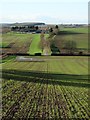
3
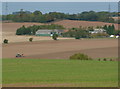
Park Farm, tractor in field
Seen from the path between Maplebeck and Eakring.
Image: © Peter Barr
Taken: 8 Oct 2013
0.14 miles
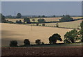
4
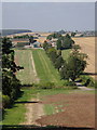
View to Park Farm from Hare Hill
Attractive farmland views from the low hill.
Image: © Andrew Hill
Taken: 8 Sep 2012
0.17 miles
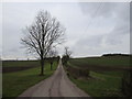
5
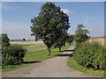
Farm track to Park Farm
The farm is set in quiet arable farmland.
Image: © Andrew Hill
Taken: 8 Sep 2012
0.19 miles
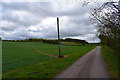
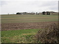
8
Field view from Hare Hill
Arable farming landscape in September.
Image: © Andrew Hill
Taken: 8 Sep 2012
0.24 miles