
IMAGES TAKEN NEAR TO
Gunthorpe Court, MANSFIELD, NG18 4GU
Introduction
This page details the photographs taken nearby to Gunthorpe Court, NG18 4GU by members of the Geograph project.
The Geograph project started in 2005 with the aim of publishing, organising and preserving representative images for every square kilometre of Great Britain, Ireland and the Isle of Man.

There are currently over 7.5m images from over14,400 individuals and you can help contribute to the project by visiting https://www.geograph.org.uk
Image Map
Images are licensed for reuse under creativecommons.org/licenses/by-sa/2.0
Notes
- Clicking on the map will re-center to the selected point.
- The higher the marker number, the further away the image location is from the centre of the postcode.
Image Listing (15 Images Found)
Images are licensed for reuse under creativecommons.org/licenses/by-sa/2.0
Image
Details
Distance
1
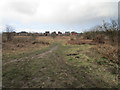
Heath land and the edge of Mansfield
Image: © Jonathan Thacker
Taken: 8 Mar 2020
0.12 miles
2
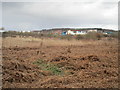
Dead bracken and commercial premises on Oakleaf Close
Image: © Jonathan Thacker
Taken: 8 Mar 2020
0.16 miles
3
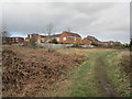
Footpath and houses on Padstow Close
Image: © Jonathan Thacker
Taken: 8 Mar 2020
0.16 miles
4
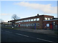
Administrative building, Bellamy Road, Mansfield
Image: © Jonathan Thacker
Taken: 21 Jan 2022
0.16 miles
5
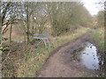
Abandoned supermarket trolley, Old Newark Road
Image: © Jonathan Thacker
Taken: 8 Mar 2020
0.17 miles
6
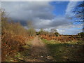
Old Newark Road
A restricted byway.
Image: © Jonathan Thacker
Taken: 8 Mar 2020
0.19 miles
8
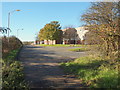
Former Old Newark Road, Mansfield, Notts.
The most easterly segment of the Old Newark Road, i.e. from the A6191 (Southwell Road West) to this point (Redruth Drive) peters out here and the former road has been upgraded and renamed as Bellamy Road - for half a mile or so - in order to serve this new-ish housing development. Thus the former Old Newark Road does actually continue straight ahead, albeit under a different guise. The former Old Newark Road then branches off to the left in less than a mile towards the West Nottingham College area of south Mansfield. To be more precise, Bellamy Road (ahead) branches off the Old Newark Road to the right forming a C shaped curve, to join the A6117, with the route of the former "old road" to continue westwards. Arable farmland features behind the hedgerow on the left.
Image: © David Hallam-Jones
Taken: 10 Nov 2013
0.22 miles
9
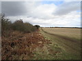
Uncultivated field
The tracks have been made by young lads on small motorcycles.
Image: © Jonathan Thacker
Taken: 8 Mar 2020
0.22 miles
10
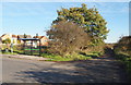
Former Old Newark Road, Mansfield, Notts.
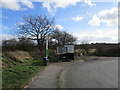
The most easterly segment of the Old Newark Road is seen here, on the right, heading in the direction of the A6191 (Southwell Rd West). Grassed fields (grazing land ) also feature on the right of the picture. Redruth Drive heads off to the left here in front of the bus shelter. The former Old Newark Road has been upgraded and renamed Bellamy Road for approximately half a mile, behind the photographer, in order to serve this new-ish housing development. Thus the former Old Newark Road continues its former course, behind the photographer, albeit under a different guise.
Image: © David Hallam-Jones
Taken: 10 Nov 2013
0.23 miles