IMAGES TAKEN NEAR TO
Nunn Brook Rise, SUTTON-IN-ASHFIELD, NG17 2PD
Introduction
This page details the photographs taken nearby to Nunn Brook Rise, NG17 2PD by members of the Geograph project.
The Geograph project started in 2005 with the aim of publishing, organising and preserving representative images for every square kilometre of Great Britain, Ireland and the Isle of Man.

There are currently over 7.5m images from over14,400 individuals and you can help contribute to the project by visiting https://www.geograph.org.uk
Image Map
Images are licensed for reuse under creativecommons.org/licenses/by-sa/2.0
Notes
- Clicking on the map will re-center to the selected point.
- The higher the marker number, the further away the image location is from the centre of the postcode.
Image Listing (10 Images Found)
Images are licensed for reuse under creativecommons.org/licenses/by-sa/2.0
Image
Details
Distance
1
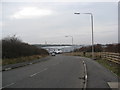
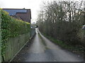
Huthwaite - Brookside Way leading to Nunn Park
Image: © Alan Heardman
Taken: 30 Jan 2009
0.19 miles
3
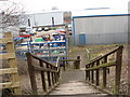
Footpath off the Blackwell Trail near Commonside
Image: © Alan Heardman
Taken: 30 Jan 2009
0.20 miles
4
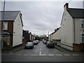
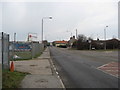
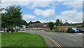
Carnarvon Road, Huthwaite
Off Common Road.
Image: © Richard Vince
Taken: 12 Dec 2020
0.20 miles
7
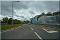
Huthwaite : Brookside Way
Looking off Common Road.
Image: © Lewis Clarke
Taken: 2 Oct 2018
0.22 miles
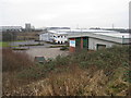
10
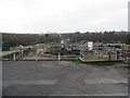
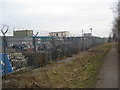
Huthwaite - Sewage Works view from Brookside Way
Image: © Alan Heardman
Taken: 30 Jan 2009
0.23 miles