
IMAGES TAKEN NEAR TO
Nottingham Road, NOTTINGHAM, NG14 6EG
Introduction
This page details the photographs taken nearby to Nottingham Road, NG14 6EG by members of the Geograph project.
The Geograph project started in 2005 with the aim of publishing, organising and preserving representative images for every square kilometre of Great Britain, Ireland and the Isle of Man.

There are currently over 7.5m images from over14,400 individuals and you can help contribute to the project by visiting https://www.geograph.org.uk
Image Map
Images are licensed for reuse under creativecommons.org/licenses/by-sa/2.0
Notes
- Clicking on the map will re-center to the selected point.
- The higher the marker number, the further away the image location is from the centre of the postcode.
Image Listing (40 Images Found)
Images are licensed for reuse under creativecommons.org/licenses/by-sa/2.0
Image
Details
Distance
1
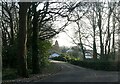
Lambley House Farm
Recreating this 'First' for the square https://www.geograph.org.uk/photo/34979
Image: © Alan Murray-Rust
Taken: 18 Jan 2023
0.04 miles
2
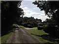
Lambley House Farm
Off the Nottingham Road on the way to Mapperley Plains from Woodborough
Image: © Tom Courtney
Taken: 8 Aug 2005
0.04 miles
4
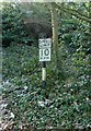
Speed limit 10 m.p.h.
An old standard road sign doing duty on a private drive.
Image: © Alan Murray-Rust
Taken: 18 Jan 2023
0.12 miles
7
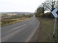
Rural road name sign
The sign has been placed to identify the change of name from Bank Hill to Nottingham Road
Image: © Alan Murray-Rust
Taken: 20 Mar 2011
0.15 miles
8
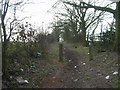
Bridleway near Lambley House
48 hours of frost had made the surface of the way much easier to walk on, having hardened the otherwise considerable mud.
Image: © Alan Murray-Rust
Taken: 18 Jan 2023
0.15 miles
9
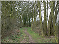
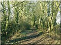
Bridleway near Lambley House
This section of the bridleway is lined by hedges and tall trees.
Image: © Alan Murray-Rust
Taken: 20 Mar 2011
0.15 miles
10
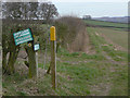
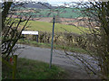
Footpath junction
In addition to the formal waymarks, the landowner has erected prominent signs to assist adherence to rights of way.
Image: © Alan Murray-Rust
Taken: 20 Mar 2011
0.16 miles