
IMAGES TAKEN NEAR TO
Brandling Way, MORPETH, NE65 9FA
Introduction
This page details the photographs taken nearby to Brandling Way, NE65 9FA by members of the Geograph project.
The Geograph project started in 2005 with the aim of publishing, organising and preserving representative images for every square kilometre of Great Britain, Ireland and the Isle of Man.

There are currently over 7.5m images from over14,400 individuals and you can help contribute to the project by visiting https://www.geograph.org.uk
Image Map
Images are licensed for reuse under creativecommons.org/licenses/by-sa/2.0
Notes
- Clicking on the map will re-center to the selected point.
- The higher the marker number, the further away the image location is from the centre of the postcode.
Image Listing (14 Images Found)
Images are licensed for reuse under creativecommons.org/licenses/by-sa/2.0
Image
Details
Distance
1
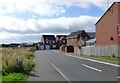
Ladyburn Way
The rough ground on the left leads down to the Lady Burn which runs into Ladyburn Lake in the Druridge Bay Country Park.
Image: © Russel Wills
Taken: 3 Sep 2013
0.07 miles
2
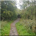
Path, Hadston
A road free link to Druridge Bay Country Park.
Image: © Richard Webb
Taken: 15 Sep 2018
0.08 miles
3
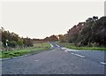
Road to Druridge Bay Country Park
To the east of the A1068, near Hadston.
Image: © Barbara Carr
Taken: 8 Oct 2013
0.10 miles
4
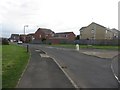
Housing estate off Hadston Road
A typically modern housing development off Hadston Road on the eastern edge of Hadston.
Image: © Graham Robson
Taken: 18 Sep 2016
0.10 miles
5
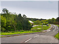
Road to Ladyburn Lake
This small lane leads to a car park and the visitor centre.
Image: © David Dixon
Taken: 22 May 2021
0.11 miles
6
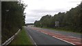
A1068, Hadston
A newish road amongst restored opencast areas. There is a lurking speed camera here.
Image: © Richard Webb
Taken: 15 Sep 2018
0.11 miles
7
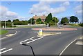
Roundabout near Hadston Farm
Where Hadston Road meets Ladyburn Way.
Image: © Russel Wills
Taken: 3 Sep 2013
0.11 miles
8

Pillbox near Broomhill
The pillbox is near Hadston Farm.
Image: © Maigheach-gheal
Taken: 7 Apr 2011
0.13 miles
9
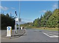
Road into Broomhill
To the west of the A1068.
Image: © Barbara Carr
Taken: 8 Oct 2013
0.13 miles
10

Footpath, Broomhill
The footpath takes walkers to Hadston Farm.
Image: © Maigheach-gheal
Taken: 7 Apr 2011
0.13 miles