IMAGES TAKEN NEAR TO
Wreigh Burn Fields, MORPETH, NE65 7LP
Introduction
This page details the photographs taken nearby to Wreigh Burn Fields, NE65 7LP by members of the Geograph project.
The Geograph project started in 2005 with the aim of publishing, organising and preserving representative images for every square kilometre of Great Britain, Ireland and the Isle of Man.

There are currently over 7.5m images from over14,400 individuals and you can help contribute to the project by visiting https://www.geograph.org.uk
Image Map
Images are licensed for reuse under creativecommons.org/licenses/by-sa/2.0
Notes
- Clicking on the map will re-center to the selected point.
- The higher the marker number, the further away the image location is from the centre of the postcode.
Image Listing (31 Images Found)
Images are licensed for reuse under creativecommons.org/licenses/by-sa/2.0
Image
Details
Distance
1
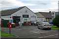
Smith's Garage, Thropton
Village garage incorporating a post office and general store - lifeline facilities in this deeply rural area, although unleaded at £1-27 per litre is jaw-dropping.
Image: © Stephen McKay
Taken: 16 Aug 2008
0.06 miles
2
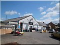
Village Garage
W & J Smith operate the village store and garage in Thropton.
Image: © Michael Dibb
Taken: 24 May 2011
0.06 miles
3
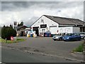
W and J Smith Garage, Thropton
Garage, filling station, shop and post office all under the one ownership provide the services for the village of Thropton.
Image: © Oliver Dixon
Taken: 13 Jun 2011
0.07 miles
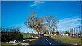
5
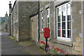
Thropton
Looking along the south side of the B6341 through the village; the tower of the United Reformed Church can be seen ahead.
Image: © Stephen McKay
Taken: 16 Aug 2008
0.12 miles
6
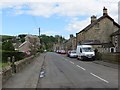
Thropton
B6341 running through Thropton.
Image: © Richard Webb
Taken: 1 Jun 2013
0.13 miles
7
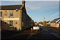
The Three Wheat Heads and the road through Thropton
Image: © Trevor Harris
Taken: 28 Oct 2011
0.16 miles
8
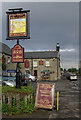
The Three Wheat Heads, Thropton
Looking west along the B6341 with the Three Wheat Heads Inn on the left, one of two pubs in the village.
Image: © Stephen McKay
Taken: 16 Aug 2008
0.16 miles
9
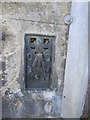
Ordnance Survey Flush Bracket (11264)
This OS Flush Bracket can be found on the Three Wheat Heads Inn. It marks a point 89.932m above mean sea level.
Image: © Adrian Dust
Taken: 29 Sep 2015
0.16 miles