IMAGES TAKEN NEAR TO
Wansford Avenue, NE5 2FL
Introduction
This page details the photographs taken nearby to Wansford Avenue, NE5 2FL by members of the Geograph project.
The Geograph project started in 2005 with the aim of publishing, organising and preserving representative images for every square kilometre of Great Britain, Ireland and the Isle of Man.

There are currently over 7.5m images from over14,400 individuals and you can help contribute to the project by visiting https://www.geograph.org.uk
Image Map
Images are licensed for reuse under creativecommons.org/licenses/by-sa/2.0
Notes
- Clicking on the map will re-center to the selected point.
- The higher the marker number, the further away the image location is from the centre of the postcode.
Image Listing (41 Images Found)
Images are licensed for reuse under creativecommons.org/licenses/by-sa/2.0
Image
Details
Distance
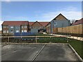
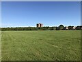
2
Fencing off greenspace for development
Image: © Anthony Foster
Taken: 11 Aug 2020
0.05 miles
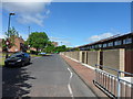
9
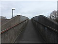
Footbridge over Stamfordham Road, Blakelaw
Image: © Anthony Foster
Taken: 19 Feb 2015
0.11 miles
10
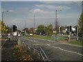
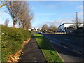
Stamfordham Road
B6324 links West Denton (and beyond) to Cowgate and thus to Newcastle City Centre.
Image: © MSX
Taken: 29 Oct 2005
0.12 miles