IMAGES TAKEN NEAR TO
Canning Street, NEWCASTLE UPON TYNE, NE4 8UJ
Introduction
This page details the photographs taken nearby to Canning Street, NE4 8UJ by members of the Geograph project.
The Geograph project started in 2005 with the aim of publishing, organising and preserving representative images for every square kilometre of Great Britain, Ireland and the Isle of Man.

There are currently over 7.5m images from over14,400 individuals and you can help contribute to the project by visiting https://www.geograph.org.uk
Image Map
Images are licensed for reuse under creativecommons.org/licenses/by-sa/2.0
Notes
- Clicking on the map will re-center to the selected point.
- The higher the marker number, the further away the image location is from the centre of the postcode.
Image Listing (38 Images Found)
Images are licensed for reuse under creativecommons.org/licenses/by-sa/2.0
Image
Details
Distance
1
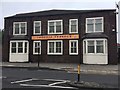
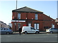
Hindu Temple, Fenham
Formerly the Milvain Club. A German bomb that exploded outside of the club on the night of 28/29 July 1940 was one of 25 dropped on Newcastle that night killing three women.
The upper floor of the club was badly damaged by a fire on 28 May 1962.
Image: © Anthony Foster
Taken: 4 Jul 2020
0.06 miles
2
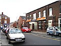
Hindu Temple
Hindu temple top of Westgate road.
Image: © Newbiggin Hall Scouts
Taken: 30 Jul 2007
0.07 miles
3
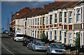
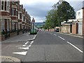
Condercum Road
View looking up Condercum Road in Benwell.
Image: © Peter McDermott
Taken: 22 Aug 2010
0.09 miles
4
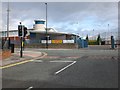
Junction of Condercum Road and West Road, Benwell
Image: © Eric Rosie
Taken: 16 Aug 2009
0.09 miles
9
Plaza Cinema as was
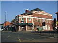
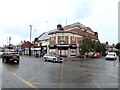
This large cinema at the corner of Gowland Avenue and West Road was built in 1928 but closed in 1960 (see https://www.flickr.com/photos/newcastlelibraries/4079302967 ). It enjoyed a new existence as a Bingo Hall from 1964 to 2005, after which it operated as a pub for a short time. Some small shops occupy the ground floor.
Image: © Oliver Dixon
Taken: 30 Jul 2019
0.14 miles