
IMAGES TAKEN NEAR TO
Nichol Street East, NEWCASTLE UPON TYNE, NE4 8BF
Introduction
This page details the photographs taken nearby to Nichol Street East, NE4 8BF by members of the Geograph project.
The Geograph project started in 2005 with the aim of publishing, organising and preserving representative images for every square kilometre of Great Britain, Ireland and the Isle of Man.

There are currently over 7.5m images from over14,400 individuals and you can help contribute to the project by visiting https://www.geograph.org.uk
Image Map
Images are licensed for reuse under creativecommons.org/licenses/by-sa/2.0
Notes
- Clicking on the map will re-center to the selected point.
- The higher the marker number, the further away the image location is from the centre of the postcode.
Image Listing (36 Images Found)
Images are licensed for reuse under creativecommons.org/licenses/by-sa/2.0
Image
Details
Distance
1
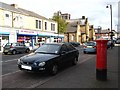
Adelaide Terrace, Benwell, NE4 (2)
Shows the location of Image
Image: © Mike Quinn
Taken: 5 Oct 2010
0.01 miles
2
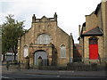
Sunday School (1893), Adelaide Terrace, Benwell, NE4
Image: © Mike Quinn
Taken: 5 Oct 2010
0.02 miles
3
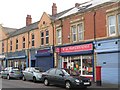
Adelaide Terrace, Benwell, NE4
Shows the location of Image
Image: © Mike Quinn
Taken: 5 Oct 2010
0.02 miles
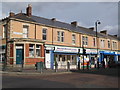
5
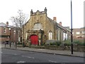
Former Wesleyan Sunday School, Adelaide Terrace, Newcastle upon Tyne
A former Wesleyan Sunday School building, built in 1893, in Benwell. The adjoining chapel shown to the right of the school in Image has been demolished.
Image: © Graham Robson
Taken: 6 Dec 2017
0.02 miles
6
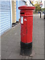
Edward VII postbox, Adelaide Terrace, Benwell, NE4
Image: © Mike Quinn
Taken: 5 Oct 2010
0.02 miles
7
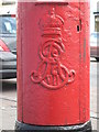
Edward VII postbox, Adelaide Terrace, Benwell, NE4 - royal cipher
See Image
Image: © Mike Quinn
Taken: 5 Oct 2010
0.02 miles
8
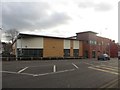
West End customer service centre and library, Newcastle upon Tyne
A modern building on Condercum Road which hosts a number of public facing council services including a local customer services point and branch library.
Image: © Graham Robson
Taken: 6 Dec 2017
0.04 miles
9
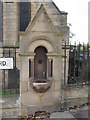
Drinking water fountain (1902), Atkinson Road, Benwell, NE4
The location of this drinking fountain is shown in Image
Image: © Mike Quinn
Taken: 5 Oct 2010
0.04 miles
10
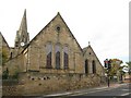
St. James Church, Benwell Lane / Atkinson Road, Benwell, NE4
Shows the location of Image
Image: © Mike Quinn
Taken: 5 Oct 2010
0.05 miles