IMAGES TAKEN NEAR TO
Sinderhope, HEXHAM, NE47 9ST
Introduction
This page details the photographs taken nearby to NE47 9ST by members of the Geograph project.
The Geograph project started in 2005 with the aim of publishing, organising and preserving representative images for every square kilometre of Great Britain, Ireland and the Isle of Man.

There are currently over 7.5m images from over14,400 individuals and you can help contribute to the project by visiting https://www.geograph.org.uk
Image Map
Images are licensed for reuse under creativecommons.org/licenses/by-sa/2.0
Notes
- Clicking on the map will re-center to the selected point.
- The higher the marker number, the further away the image location is from the centre of the postcode.
Image Listing (197 Images Found)
Images are licensed for reuse under creativecommons.org/licenses/by-sa/2.0
Image
Details
Distance
3
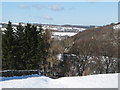
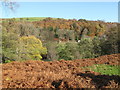
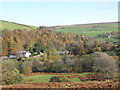
Snowy East Allen Dale at Sinderhope
Image: © Mike Quinn
Taken: 2 Mar 2010
0.02 miles
9
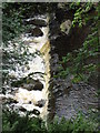
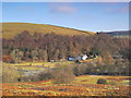
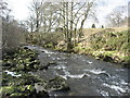
Weir on the River East Allen near Holmslinn Lead Mine
Taken from the footpath in the woods high above the river's south bank.
Image: © Mike Quinn
Taken: 17 Aug 2007
0.05 miles
10
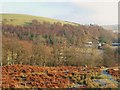
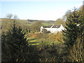
East Allen Dale (2)
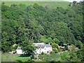
Looking across the valley towards The Holms and Garret's Hill in Image
Image: © Mike Quinn
Taken: 16 Dec 2007
0.06 miles