IMAGES TAKEN NEAR TO
Bardon Mill, HEXHAM, NE47 7ER
Introduction
This page details the photographs taken nearby to NE47 7ER by members of the Geograph project.
The Geograph project started in 2005 with the aim of publishing, organising and preserving representative images for every square kilometre of Great Britain, Ireland and the Isle of Man.

There are currently over 7.5m images from over14,400 individuals and you can help contribute to the project by visiting https://www.geograph.org.uk
Image Map
Images are licensed for reuse under creativecommons.org/licenses/by-sa/2.0
Notes
- Clicking on the map will re-center to the selected point.
- The higher the marker number, the further away the image location is from the centre of the postcode.
Image Listing (11 Images Found)
Images are licensed for reuse under creativecommons.org/licenses/by-sa/2.0
Image
Details
Distance
1
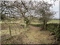
Footpath following an Old Green Lane near Henshaw
Image: © Les Hull
Taken: 24 Mar 2010
0.12 miles
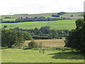
2
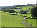
The valley of the River South Tyne around Henshaw
Photo taken from close to Willimoteswick in Image
Image: © Mike Quinn
Taken: 18 Aug 2010
0.17 miles
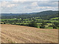
3
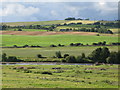
The valley of the River South Tyne north of Haughstrother Wood
Looking across the valley from near Oldhall Mill towards Image (photo by Peter McDermott).
Image: © Mike Quinn
Taken: 18 Aug 2010
0.17 miles
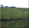
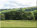
5
The valley of the River South Tyne east of Hardriding
Image: © Mike Quinn
Taken: 26 Aug 2010
0.19 miles
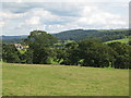
9
The valley of the River South Tyne east of Hardriding (2)
Image: © Mike Quinn
Taken: 26 Aug 2010
0.22 miles
10
The valley of the River South Tyne east of Hardriding (3)
Image: © Mike Quinn
Taken: 26 Aug 2010
0.23 miles