
IMAGES TAKEN NEAR TO
Dilston Road, NEWCASTLE UPON TYNE, NE4 5NP
Introduction
This page details the photographs taken nearby to Dilston Road, NE4 5NP by members of the Geograph project.
The Geograph project started in 2005 with the aim of publishing, organising and preserving representative images for every square kilometre of Great Britain, Ireland and the Isle of Man.

There are currently over 7.5m images from over14,400 individuals and you can help contribute to the project by visiting https://www.geograph.org.uk
Image Map
Images are licensed for reuse under creativecommons.org/licenses/by-sa/2.0
Notes
- Clicking on the map will re-center to the selected point.
- The higher the marker number, the further away the image location is from the centre of the postcode.
Image Listing (91 Images Found)
Images are licensed for reuse under creativecommons.org/licenses/by-sa/2.0
Image
Details
Distance
1
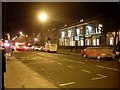
Grainger Hotel, Newcastle
Basic hotel on Westgate Road. Having never stayed there I can't comment, but Trip Advisor users are less than kind to it.
Image: © Stephen Sweeney
Taken: 12 Jan 2009
0.01 miles
2
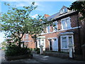
Dilston Road, Arthur's Hill, NE4 (2)
Shows the location of Image
Image: © Mike Quinn
Taken: 30 Aug 2016
0.01 miles
3
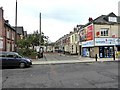
Chelsea Grove, Westgate Hill
Street blocked off from Westgate Road.
Image: © Oliver Dixon
Taken: 30 Jul 2019
0.01 miles
4
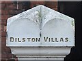
Gatepost in Dilston Road, Arthur's Hill, NE4
See Image
Image: © Mike Quinn
Taken: 30 Aug 2016
0.01 miles

8

Chelsea Grove, Arthur's Hill, NE4 (2)
Shows the location of Image
Image: © Mike Quinn
Taken: 30 Aug 2016
0.02 miles
9
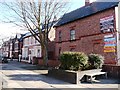
Dilston Road, off Westgate Road
The junction has been closed to traffic, and turned into a small open space for pedestrians to enjoy.
Image: © Christine Johnstone
Taken: 4 Mar 2010
0.02 miles
10
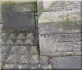
Ordnance Survey Cut Mark
This OS cut mark can be found on the NE angle of the Methodist Church, Callerton Place. It marks a point 106.973m above mean sea level.
Image: © Adrian Dust
Taken: 21 Sep 2024
0.03 miles