
IMAGES TAKEN NEAR TO
Rutherford Street, NEWCASTLE UPON TYNE, NE4 5BJ
Introduction
This page details the photographs taken nearby to Rutherford Street, NE4 5BJ by members of the Geograph project.
The Geograph project started in 2005 with the aim of publishing, organising and preserving representative images for every square kilometre of Great Britain, Ireland and the Isle of Man.

There are currently over 7.5m images from over14,400 individuals and you can help contribute to the project by visiting https://www.geograph.org.uk
Image Map
Images are licensed for reuse under creativecommons.org/licenses/by-sa/2.0
Notes
- Clicking on the map will re-center to the selected point.
- The higher the marker number, the further away the image location is from the centre of the postcode.
Image Listing (1210 Images Found)
Images are licensed for reuse under creativecommons.org/licenses/by-sa/2.0
Image
Details
Distance
1
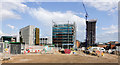
Building sights in Newcastle
There's a huge amount of development going on to the west of Newcastle city centre, much of it associated with the university - departmental buildings and accommodation. The tallest building in the image, (under construction), is Hadrian's Tower, an apartment block and now the highest in the city. Interestingly, the Cathedral of St. Nicholas can just be seen to the left of Hadrian's Tower; it was, according to Wikipedia, the city's tallest building for 396 years.
Image: © Trevor Littlewood
Taken: 9 Aug 2019
0.00 miles
2
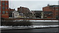
Demolition site on Rutherford Street, Newcastle upon Tyne
Premises once occupied by Henry Moat and Son are in the process of being demolished to make way for a 36 storey tower block to be known as Hadrian's Tower.
Image: © Anthony Foster
Taken: 18 Mar 2018
0.01 miles
3

Nexus House and Hadrian's Tower, Newcastle upon Tyne
Nexus House, the headquarters of the regional Passenger Transport Executive stands on the corner of Westgate Road and Rutherford Street. Behind it the lower floors of the new Hadrian's Tower can be seen, where work is nearing completion on the building's exterior. The tower is the tallest building in the city centre at 27 storeys. Image shows the demolition of the buildings which previously occupied the site now occupied by Hadrian's Tower.
Image: © Graham Robson
Taken: 28 Jun 2020
0.01 miles
4
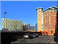
Rutherford Street, Newcastle upon Tyne
Taken from the part of the minor street running parallel to St James Boulevard, from which there is no entrance. The new gold-metal-clad building on the left is The Core Image
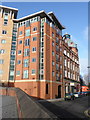
The Printworks apartments are on the right.
Image: © Andrew Curtis
Taken: 14 Jan 2015
0.02 miles
5
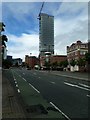
St James' Boulevard, Newcastle upon Tyne
Looking up St James' Boulevard. External construction is nearing completion on Newcastle's new tallest building, the 27 storey Hadrian's Tower.
Image: © Graham Robson
Taken: 28 Jun 2020
0.02 miles
6
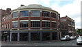
Corner of Bath Lane and Rutherford Street
Newcastle Furniture Company occupies the building in the foreground.
On the right are the derelict premises once occupied by Henry Moat and Son. In 2018 that building will be demolished to make way for a 36 storey tower block to be known as Hadrian's Tower.
Image: © Anthony Foster
Taken: 16 Jul 2017
0.02 miles
7
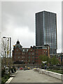
Former Co-Op Printworks and Hadrian?s Tower
Image: © Anthony Foster
Taken: 16 May 2021
0.02 miles
8

The former Co-operative Wholesale Society Printing Works, Rutherford Street, NE1
See also Image
Image: © Mike Quinn
Taken: 14 Jul 2026
0.02 miles
10
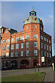
The Printworks
Formerly known as the Sovereign Building, sits on the junction of Rutherford Street with Bath Lane.
Image: © Peter McDermott
Taken: 6 Jan 2008
0.03 miles