
IMAGES TAKEN NEAR TO
RIDING MILL, NE44 6AA
Introduction
This page details the photographs taken nearby to NE44 6AA by members of the Geograph project.
The Geograph project started in 2005 with the aim of publishing, organising and preserving representative images for every square kilometre of Great Britain, Ireland and the Isle of Man.

There are currently over 7.5m images from over14,400 individuals and you can help contribute to the project by visiting https://www.geograph.org.uk
Image Map
Images are licensed for reuse under creativecommons.org/licenses/by-sa/2.0
Notes
- Clicking on the map will re-center to the selected point.
- The higher the marker number, the further away the image location is from the centre of the postcode.
Image Listing (16 Images Found)
Images are licensed for reuse under creativecommons.org/licenses/by-sa/2.0
Image
Details
Distance
1
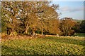
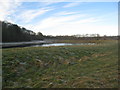
Farnley Gate
Fields near Farnley Gate.
Image: © Peter McDermott
Taken: 28 Dec 2011
0.07 miles
2
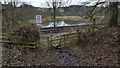
Stile on pedestrian railway crossing , Newcastle to Carlisle line
Image: © Clive Nicholson
Taken: 10 Feb 2017
0.11 miles
3
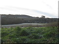
View across the former gravel pits at Farnley
Image: © Jonathan Thacker
Taken: 30 Nov 2012
0.16 miles
4
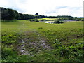
Former Gravel Pit site at Farnley
Which has been landscaped into a large pond.
Image: © Clive Nicholson
Taken: 4 Sep 2008
0.16 miles
5
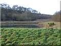
Former gravel pits by the Tyne
Now landscaped. Part of the Farnley Estate.
Image: © Jonathan Thacker
Taken: 30 Nov 2012
0.16 miles
6
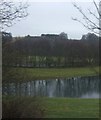
Old gravel pit at Farnley Haughs
The southern of two flooded abandoned gravel pits.
Image: © Oliver Dixon
Taken: 30 Dec 2014
0.16 miles
8
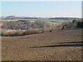
Farmland and woodland north of Farnley Gate
Image: © Mike Quinn
Taken: 28 Feb 2013
0.18 miles
9
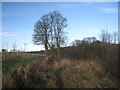
The path to Corbridge
Close to the former garvel pits at Farnley the path to Corbridge rises above the River Tyne.
Image: © Jonathan Thacker
Taken: 30 Nov 2012
0.19 miles
10
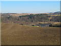
Farmland north of Farnley Gate
Looking towards the old gravel pits between the Newcastle to Carlisle railway line (hidden below the first horizon) and the River Tyne.
Image: © Mike Quinn
Taken: 28 Feb 2013
0.21 miles