
IMAGES TAKEN NEAR TO
King George Road, SOUTH SHIELDS, NE34 8PP
Introduction
This page details the photographs taken nearby to King George Road, NE34 8PP by members of the Geograph project.
The Geograph project started in 2005 with the aim of publishing, organising and preserving representative images for every square kilometre of Great Britain, Ireland and the Isle of Man.

There are currently over 7.5m images from over14,400 individuals and you can help contribute to the project by visiting https://www.geograph.org.uk
Image Map
Images are licensed for reuse under creativecommons.org/licenses/by-sa/2.0
Notes
- Clicking on the map will re-center to the selected point.
- The higher the marker number, the further away the image location is from the centre of the postcode.
Image Listing (12 Images Found)
Images are licensed for reuse under creativecommons.org/licenses/by-sa/2.0
Image
Details
Distance
1
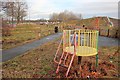
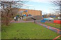
Playground, Temple Memorial Park
Abandoned and fenced off as a "Construction Site".
Image: © Mick Garratt
Taken: 8 Jan 2011
0.14 miles
2
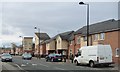
New housing, north side of Redwood Avenue
A whole area of [perhaps] 1930s streets has been redeveloped into 'Cleadon Vale'.
Image: © Christine Johnstone
Taken: 25 Feb 2017
0.14 miles
3
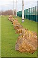
Boulders, Temple Memorial Park
Strategically place alongside the perimeter fence of an all weather football pitch.
Image: © Mick Garratt
Taken: 8 Jan 2011
0.15 miles
4
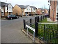
Wisteria Gardens, off Redwood Avenue
Most of the side streets round here are named after trees or shrubs.
Image: © Christine Johnstone
Taken: 25 Feb 2017
0.18 miles
5
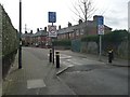
Start of Home Zone, Sycamore Avenue
On the south side of Redwood Avenue.
Image: © Christine Johnstone
Taken: 25 Feb 2017
0.18 miles
7
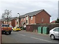
Newer housing on Mulberry Crescent
On the west side of Sunderland Road. All the side streets round here are named after shrubs and trees.
Image: © Christine Johnstone
Taken: 25 Feb 2017
0.20 miles
8

Heavy congestion on the way to the coast!
On the Great North Run, 2013.
Image: © Chris Morgan
Taken: 15 Sep 2013
0.20 miles
9
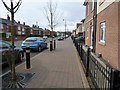
Redwood Avenue, looking west
Bellway's newer housing facing older houses.
Image: © Christine Johnstone
Taken: 25 Feb 2017
0.21 miles
10
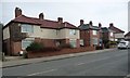
Houses on the east side of Sunderland Road
Just south of the Harton Nook roundabout.
Image: © Christine Johnstone
Taken: 25 Feb 2017
0.23 miles