
IMAGES TAKEN NEAR TO
Kings Road South, WALLSEND, NE28 7RB
Introduction
This page details the photographs taken nearby to Kings Road South, NE28 7RB by members of the Geograph project.
The Geograph project started in 2005 with the aim of publishing, organising and preserving representative images for every square kilometre of Great Britain, Ireland and the Isle of Man.

There are currently over 7.5m images from over14,400 individuals and you can help contribute to the project by visiting https://www.geograph.org.uk
Image Map
Images are licensed for reuse under creativecommons.org/licenses/by-sa/2.0
Notes
- Clicking on the map will re-center to the selected point.
- The higher the marker number, the further away the image location is from the centre of the postcode.
Image Listing (17 Images Found)
Images are licensed for reuse under creativecommons.org/licenses/by-sa/2.0
Image
Details
Distance
2

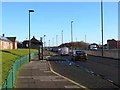
Cycleway alongside the Coast Road
Here the cycleway which runs along the north side of the Coast Road (A1058) rather perilously crosses the entrance and exit to a filling station.
Image: © Oliver Dixon
Taken: 4 Dec 2013
0.15 miles
3
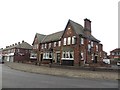
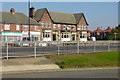
The Rising Sun public house, Wallsend
A large pub which shares its name with the large country park nearby.
Image: © Graham Robson
Taken: 19 Feb 2017
0.15 miles
4
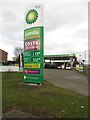
BP filling station, Wallsend
A BP petrol station on the coast bound side of the Coast Road at Wallsend.
Image: © Graham Robson
Taken: 19 Feb 2017
0.15 miles
7
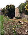
Border
The border along here also had several felled bushes/trees
Image: © Christine Westerback
Taken: 16 Mar 2012
0.21 miles
8

View of Bridge
Taken from the doorway of a derelict building
Image: © Christine Westerback
Taken: 16 Mar 2012
0.22 miles
9
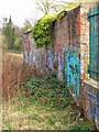
Graffitied Walls
I think these walls must be the one time perimeter surrounding The Hall
Image: © Christine Westerback
Taken: 16 Mar 2012
0.22 miles
10
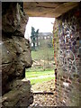
View from Derelict Building
I say building but there was nothing left through this gateway except some derelict stone walls and rubble. I cannot find out what the building is as it doesn't seen to be there on Google Earth
Image: © Christine Westerback
Taken: 16 Mar 2012
0.22 miles