
IMAGES TAKEN NEAR TO
Thirwall Way, BLYTH, NE24 4SR
Introduction
This page details the photographs taken nearby to Thirwall Way, NE24 4SR by members of the Geograph project.
The Geograph project started in 2005 with the aim of publishing, organising and preserving representative images for every square kilometre of Great Britain, Ireland and the Isle of Man.

There are currently over 7.5m images from over14,400 individuals and you can help contribute to the project by visiting https://www.geograph.org.uk
Image Map
Images are licensed for reuse under creativecommons.org/licenses/by-sa/2.0
Notes
- Clicking on the map will re-center to the selected point.
- The higher the marker number, the further away the image location is from the centre of the postcode.
Image Listing (14 Images Found)
Images are licensed for reuse under creativecommons.org/licenses/by-sa/2.0
Image
Details
Distance
1
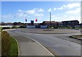
Crofton Grange
New development on south western edge of Blyth.
Image: © Russel Wills
Taken: 22 Feb 2016
0.04 miles
2
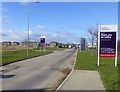
Access to new housing
On the south west fringe of Blyth.
Image: © Russel Wills
Taken: 22 Feb 2016
0.04 miles

4
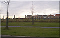
Chase Meadow housing estate, Blyth
To the north west of Blyth town centre, adjacent to the Asda hypermarket there is a new housing estate built by a small local builder Dunelm Castle homes c.2001. The estate still has open land to the south and a small amount to the east before coming to the site housing Blyth Community College. The A189 'spine road' runs down the western side.
Image: © Grahame Jenkins
Taken: 21 Jan 2006
0.11 miles
5
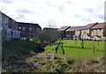
Landscaping in a housing estate
With stream and trees.
Image: © Russel Wills
Taken: 22 Feb 2016
0.12 miles

7
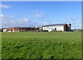
Blyth Community College
In Cowpen District of Blyth.
Image: © Russel Wills
Taken: 22 Feb 2016
0.14 miles

9
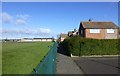
A snicket leading off Monkdale Avenue
Blyth Community College playing field on the left.
Image: © Russel Wills
Taken: 22 Feb 2016
0.15 miles
10
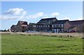
New housing development
On south west edge of Blyth.
Image: © Russel Wills
Taken: 22 Feb 2016
0.20 miles