
IMAGES TAKEN NEAR TO
Kirkwood Gardens, GATESHEAD, NE10 8TP
Introduction
This page details the photographs taken nearby to Kirkwood Gardens, NE10 8TP by members of the Geograph project.
The Geograph project started in 2005 with the aim of publishing, organising and preserving representative images for every square kilometre of Great Britain, Ireland and the Isle of Man.

There are currently over 7.5m images from over14,400 individuals and you can help contribute to the project by visiting https://www.geograph.org.uk
Image Map
Images are licensed for reuse under creativecommons.org/licenses/by-sa/2.0
Notes
- Clicking on the map will re-center to the selected point.
- The higher the marker number, the further away the image location is from the centre of the postcode.
Image Listing (10 Images Found)
Images are licensed for reuse under creativecommons.org/licenses/by-sa/2.0
Image
Details
Distance
2
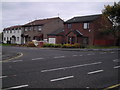
Broadside (Broadlands)
A typical Bellway development built in 1983.
Image: © MSX
Taken: 15 Oct 2005
0.19 miles
4
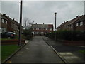
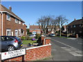
Post-War Cul-de-Sac
Wardley consists mainly of housing stock and layout identical to this (off Kirkwood Gardens).
Image: © MSX
Taken: 15 Oct 2005
0.19 miles
7
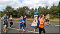
United Nations on the Great North Run 2016
Organisers had tried to get runners from every country, and had all but a very few. This outfit had lots of flags, but no time to identify them all as I passed.
Image: © Chris Morgan
Taken: 11 Sep 2016
0.23 miles
9
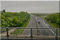
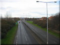
Gateshead, Felling Bypass
Looking down at the A184, Felling Bypass, from the bridge at Lingey Lane.
Image: © David Dixon
Taken: 21 May 2021
0.24 miles
10
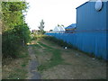
Edge Of Stonehills
Perimeter of Stonehills Industrial Estate following the path of an old goods railway.
Image: © MSX
Taken: 25 Jul 2006
0.25 miles