IMAGES TAKEN NEAR TO
Cumming Avenue, CARLUKE, ML8 4RL
Introduction
This page details the photographs taken nearby to Cumming Avenue, ML8 4RL by members of the Geograph project.
The Geograph project started in 2005 with the aim of publishing, organising and preserving representative images for every square kilometre of Great Britain, Ireland and the Isle of Man.

There are currently over 7.5m images from over14,400 individuals and you can help contribute to the project by visiting https://www.geograph.org.uk
Image Map
Images are licensed for reuse under creativecommons.org/licenses/by-sa/2.0
Notes
- Clicking on the map will re-center to the selected point.
- The higher the marker number, the further away the image location is from the centre of the postcode.
Image Listing (7 Images Found)
Images are licensed for reuse under creativecommons.org/licenses/by-sa/2.0
Image
Details
Distance
1
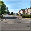
General Roy Way
Housing development named after the founder of the Ordnance Survey born on the other side of Carluke
Image: © Jim Smillie
Taken: 23 Jul 2021
0.17 miles
2
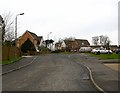
General Roy Way
Named after the man responsible for the first military survey, and hence the Ordnance Survey. He was born near here.
Image: © Richard Webb
Taken: 13 Feb 2007
0.18 miles
3
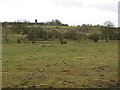
Old quarry, Headsmuir
Headsmuir farm overlooking mine/quarry workings and some poor quality grassland.
Image: © Richard Webb
Taken: 13 Feb 2007
0.18 miles
4
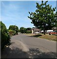
Goremire Road
Entrance to High Meadow on left
Image: © Jim Smillie
Taken: 23 Jul 2021
0.19 miles
5
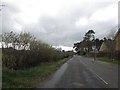
Road passing through the south-east section of Crawforddyke
Heading from Roadmeetings at Carluke to Braidwood.
Image: © James Denham
Taken: 12 Apr 2014
0.22 miles
6
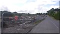
Building site, Roadmeetings
An area of old quarry workings Image is being developed for housing.
Image: © Richard Webb
Taken: 15 Aug 2017
0.22 miles