
IMAGES TAKEN NEAR TO
Edinburgh Road, SHOTTS, ML7 5TP
Introduction
This page details the photographs taken nearby to Edinburgh Road, ML7 5TP by members of the Geograph project.
The Geograph project started in 2005 with the aim of publishing, organising and preserving representative images for every square kilometre of Great Britain, Ireland and the Isle of Man.

There are currently over 7.5m images from over14,400 individuals and you can help contribute to the project by visiting https://www.geograph.org.uk
Image Map
Images are licensed for reuse under creativecommons.org/licenses/by-sa/2.0
Notes
- Clicking on the map will re-center to the selected point.
- The higher the marker number, the further away the image location is from the centre of the postcode.
Image Listing (9 Images Found)
Images are licensed for reuse under creativecommons.org/licenses/by-sa/2.0
Image
Details
Distance
1
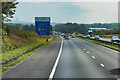
Eastbound M8 approaching Harthill Services
Image: © David Dixon
Taken: 3 Aug 2019
0.10 miles
2
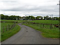
Treesbank Farm
It looks like a country idyll - but the traffic from the nearby M8 drowns out any thought processes.
Image: © Raymond Okonski
Taken: 17 May 2007
0.16 miles
4
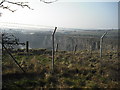
Tam's Loup Quarry
According to local folklore, Tam was a drunk who became lost and rode his horse over the north face of the hill.
(long before there was a quarry here)
Image: © Jim Smillie
Taken: 20 Mar 2009
0.17 miles
5
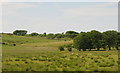
Shelter belts and pasture
At Treebanks Farm, seen from the M8.
Image: © M J Richardson
Taken: 7 Jul 2013
0.17 miles
6
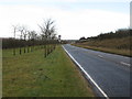
Approaching Eastfield along the B7066
Before the construction of the M8, this was the A8 to Edinburgh, then a 3 lane road, the central lane being an overtaking lane for both directions and notorious for numerous serious accidents.
Image: © G Laird
Taken: 16 Dec 2012
0.17 miles
7
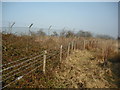
Keep Out!
Safety/Security fences around Tam's Loup Quarry.
Image: © Jim Smillie
Taken: 20 Mar 2009
0.24 miles
8
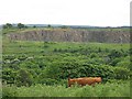
Tam's Loup Quarry
One of several big whinstone quarries around the Harthill area. The M8 runs through the middle distance along with the former A8. Both are hidden by trees.
Image: © Richard Webb
Taken: 13 Jun 2008
0.24 miles
9
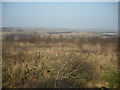
Heavy rough
Maps of the early-mid 20th century show a golf course here.
Image: © Jim Smillie
Taken: 20 Mar 2009
0.25 miles