
IMAGES TAKEN NEAR TO
Shottsburn Road, SHOTTS, ML7 4NT
Introduction
This page details the photographs taken nearby to Shottsburn Road, ML7 4NT by members of the Geograph project.
The Geograph project started in 2005 with the aim of publishing, organising and preserving representative images for every square kilometre of Great Britain, Ireland and the Isle of Man.

There are currently over 7.5m images from over14,400 individuals and you can help contribute to the project by visiting https://www.geograph.org.uk
Image Map
Images are licensed for reuse under creativecommons.org/licenses/by-sa/2.0
Notes
- Clicking on the map will re-center to the selected point.
- The higher the marker number, the further away the image location is from the centre of the postcode.
Image Listing (7 Images Found)
Images are licensed for reuse under creativecommons.org/licenses/by-sa/2.0
Image
Details
Distance
1
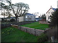
Shottsburn Manse
The church which was to the right of the manse closed in 1975 when the congregation merged with Kirk O' Shotts.
The church no longer exists and the manse is a private dwelling.
Image: © Jim Smillie
Taken: 18 Apr 2009
0.02 miles
2
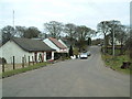
Shottsburn
Looking east along the only street in the hamlet of Shottsburn
Image: © James Allan
Taken: 10 Apr 2006
0.03 miles
3
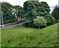
Bridge: Shotts Burn
At Shottsburn Road, Shottsburn.
Image: © Jim Smillie
Taken: 9 Jul 2020
0.03 miles
4
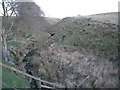
Shotts Burn at Shottsburn
Just downstream from Bertram's Well
Image: © Jim Smillie
Taken: 18 Apr 2009
0.07 miles
5
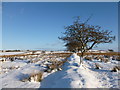
Field boundary near Shottsburn
Gnarled, windswept trees on rough grazing near the high point of the old Edinburgh-Glasgow road.
Image: © Alan O'Dowd
Taken: 18 Jan 2015
0.17 miles
7
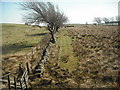
Well marked boundary
These fields are separated by fences, ditch, dyke and trees.
Image: © Jim Smillie
Taken: 16 Apr 2010
0.25 miles