
IMAGES TAKEN NEAR TO
Manor View, AIRDRIE, ML6 9TH
Introduction
This page details the photographs taken nearby to Manor View, ML6 9TH by members of the Geograph project.
The Geograph project started in 2005 with the aim of publishing, organising and preserving representative images for every square kilometre of Great Britain, Ireland and the Isle of Man.

There are currently over 7.5m images from over14,400 individuals and you can help contribute to the project by visiting https://www.geograph.org.uk
Image Map
Images are licensed for reuse under creativecommons.org/licenses/by-sa/2.0
Notes
- Clicking on the map will re-center to the selected point.
- The higher the marker number, the further away the image location is from the centre of the postcode.
Image Listing (12 Images Found)
Images are licensed for reuse under creativecommons.org/licenses/by-sa/2.0
Image
Details
Distance
1
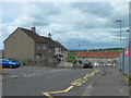
Crowwood Crescent, Calderbank
Outside Corpus Christi Primary School.
Image: © Stephen Sweeney
Taken: 14 May 2014
0.08 miles
2
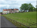
Park in Calderbank
From Crown Street.
Image: © Stephen Sweeney
Taken: 14 May 2014
0.13 miles
6
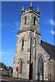
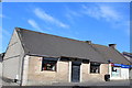
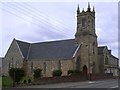
Calderbank Parish Church
Category C-listed. Built 1856, extended 1870 and remodelled 1908.
Image: © Leslie Barrie
Taken: 23 May 2015
0.22 miles
7
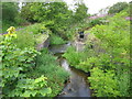
Monkland Canal
The start of the canal, though abandoned for navigation in 1942.
Image: © G Laird
Taken: 6 Aug 2011
0.22 miles
8
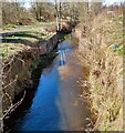
Canal feeder
Water from the North Calder was diverted into the Monkland Canal here
Image: © Jim Smillie
Taken: 12 Apr 2021
0.23 miles
9
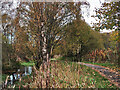
Monkland Canal near Calderbank
Near the start of the canal at the water intake from the North Calder Water.
Image: © wrobison
Taken: 26 Oct 2024
0.23 miles
10
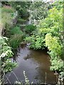
The Monkland Canal Eastern Terminus
The beginning of the canal at Calderbank - in the sense that this is where the water that fills it enters it.
Image: © Robert Murray
Taken: 24 Aug 2009
0.23 miles