
IMAGES TAKEN NEAR TO
Argyle Crescent, AIRDRIE, ML6 9RR
Introduction
This page details the photographs taken nearby to Argyle Crescent, ML6 9RR by members of the Geograph project.
The Geograph project started in 2005 with the aim of publishing, organising and preserving representative images for every square kilometre of Great Britain, Ireland and the Isle of Man.

There are currently over 7.5m images from over14,400 individuals and you can help contribute to the project by visiting https://www.geograph.org.uk
Image Map
Images are licensed for reuse under creativecommons.org/licenses/by-sa/2.0
Notes
- Clicking on the map will re-center to the selected point.
- The higher the marker number, the further away the image location is from the centre of the postcode.
Image Listing (9 Images Found)
Images are licensed for reuse under creativecommons.org/licenses/by-sa/2.0
Image
Details
Distance

2

Woodland, Cromarty Road
A keek through the roadside woods along Sykeside Road to residential streets to the north.
Image: © Richard Webb
Taken: 22 Jan 2010
0.14 miles
3
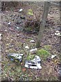
Dumped skates
Moss covered so they have been there some time - unusual litter off Sykeside Road.
Image: © Richard Webb
Taken: 22 Jan 2010
0.18 miles
4
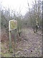
Woodland, Sikeside Road
A small scruffy wood beside the Sikeside Road and the road to Faskine.
Image: © Richard Webb
Taken: 22 Jan 2010
0.20 miles
5
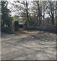
Gated entrance
This was the entrance to Cairnhill House past the lodge house
Image: © Jim Smillie
Taken: 23 Apr 2021
0.22 miles
6

Woodland path
Leading from Woodview Drive to large open grass area
Image: © Jim Smillie
Taken: 23 Apr 2021
0.22 miles
7
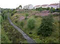
Disused railway, Cairnhill, Coatbridge
Now converted to a cyclepath covered with broken Buckfast bottles.
Image: © Chris Upson
Taken: 1 Sep 2006
0.23 miles
8

National Cycle Route 75
A former railway line in Airdrie.
Image: © G Laird
Taken: 19 Jun 2012
0.25 miles
9
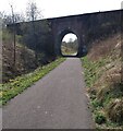
Bridge over NCP 75
Carrying Woodburn Avenue from Cairnhill Road
Image: © Jim Smillie
Taken: 23 Apr 2021
0.25 miles