
IMAGES TAKEN NEAR TO
Lochranza Crescent, AIRDRIE, ML6 9FD
Introduction
This page details the photographs taken nearby to Lochranza Crescent, ML6 9FD by members of the Geograph project.
The Geograph project started in 2005 with the aim of publishing, organising and preserving representative images for every square kilometre of Great Britain, Ireland and the Isle of Man.

There are currently over 7.5m images from over14,400 individuals and you can help contribute to the project by visiting https://www.geograph.org.uk
Image Map
Images are licensed for reuse under creativecommons.org/licenses/by-sa/2.0
Notes
- Clicking on the map will re-center to the selected point.
- The higher the marker number, the further away the image location is from the centre of the postcode.
Image Listing (9 Images Found)
Images are licensed for reuse under creativecommons.org/licenses/by-sa/2.0
Image
Details
Distance
1
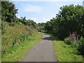
National Cycle Route 75
Railway turned into a cycle path, Cairnhill.
Image: © Richard Webb
Taken: 25 Jul 2008
0.08 miles
2
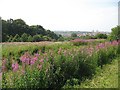
Former industrial land, Cairnhill
The willowherb has colonised this wasteland beside a disused railway.
Image: © Richard Webb
Taken: 25 Jul 2008
0.17 miles
3
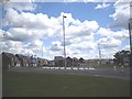
Victoria Place Gardens in Airdrie
This estate is built on the former steel works which was called The Imperial Tube Works that as the title suggests made large steel tubes.
Image: © Stevie Spiers
Taken: 22 May 2009
0.19 miles
4
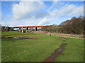
Former railway viaduct
The railway, a branch of the Caledonian Railway, opened in 1886 and finally closed in 1990, passenger services having ceased in 1943.
Now used as a footpath and cycle route.
Image: © Jonathan Thacker
Taken: 20 Feb 2020
0.21 miles
5
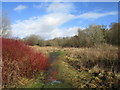
Footpath near Cairnhill
Cairnhill is off to the left. This is former industrial land.
Image: © Jonathan Thacker
Taken: 20 Feb 2020
0.21 miles
7
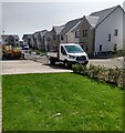
Stewart Gardens
New development on site of former factory. Roads and parking areas being surfaced
Image: © Jim Smillie
Taken: 23 Apr 2021
0.24 miles
8
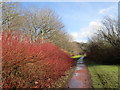
North Calder Heritage Trail
Broadly follows the line of the Monkland Canal https://en.wikipedia.org/wiki/Monkland_Canal
Image: © Jonathan Thacker
Taken: 20 Feb 2020
0.24 miles
9
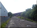
Coatbridge Viaduct
A disused railway bridge.
Image: © Ross Watson
Taken: 27 Jul 2013
0.24 miles