IMAGES TAKEN NEAR TO
Devonview Place, AIRDRIE, ML6 9DF
Introduction
This page details the photographs taken nearby to Devonview Place, ML6 9DF by members of the Geograph project.
The Geograph project started in 2005 with the aim of publishing, organising and preserving representative images for every square kilometre of Great Britain, Ireland and the Isle of Man.

There are currently over 7.5m images from over14,400 individuals and you can help contribute to the project by visiting https://www.geograph.org.uk
Image Map
Images are licensed for reuse under creativecommons.org/licenses/by-sa/2.0
Notes
- Clicking on the map will re-center to the selected point.
- The higher the marker number, the further away the image location is from the centre of the postcode.
Image Listing (6 Images Found)
Images are licensed for reuse under creativecommons.org/licenses/by-sa/2.0
Image
Details
Distance
1
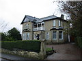
Villa on Woodburn Avenue
Halloween decorations on the front door.
Image: © Jonathan Thacker
Taken: 1 Nov 2017
0.11 miles
2
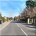
Victoria Place
Area of large detached/semi-detached villas
Image: © Jim Smillie
Taken: 23 Apr 2021
0.13 miles
3
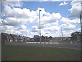
Victoria Place Gardens in Airdrie
This estate is built on the former steel works which was called The Imperial Tube Works that as the title suggests made large steel tubes.
Image: © Stevie Spiers
Taken: 22 May 2009
0.20 miles
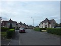
5
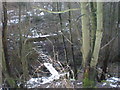
Burn Walk with Footbridge by Railway Near Tutor Hotel
The walk runs from Centenary Park and Airdrie Railway Station. I can't imagine anyone wanting to walk there.
Image: © Sarah McGuire
Taken: 14 Feb 2009
0.22 miles