
IMAGES TAKEN NEAR TO
Crookdyke Court, Gowan Brae, AIRDRIE, ML6 7FE
Introduction
This page details the photographs taken nearby to Crookdyke Court, Gowan Brae, ML6 7FE by members of the Geograph project.
The Geograph project started in 2005 with the aim of publishing, organising and preserving representative images for every square kilometre of Great Britain, Ireland and the Isle of Man.

There are currently over 7.5m images from over14,400 individuals and you can help contribute to the project by visiting https://www.geograph.org.uk
Image Map
Images are licensed for reuse under creativecommons.org/licenses/by-sa/2.0
Notes
- Clicking on the map will re-center to the selected point.
- The higher the marker number, the further away the image location is from the centre of the postcode.
Image Listing (18 Images Found)
Images are licensed for reuse under creativecommons.org/licenses/by-sa/2.0
Image
Details
Distance
1
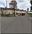
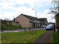
Terrace on Gowan Brae
This terrace pre-dates most of the other houses on Gowan Brae
Image: © Jim Smillie
Taken: 26 Apr 2021
0.04 miles
3
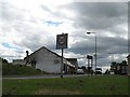
Caldercruix
Despite the sign, this is not the edge of the village. Taken while having lunch/fielding insults from some of the locals (the bike probably set them off).
Image: © Richard Webb
Taken: 13 Jun 2008
0.13 miles
4
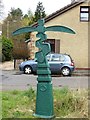
Post Millennium Mile Post
Milepost on Route 75 in Caldercruix.
Image: © Richard Webb
Taken: 24 Apr 2014
0.14 miles
5
Caldercruix
Convenience store in Caldercruix.
Image: © Richard Webb
Taken: 24 Apr 2014
0.16 miles
6
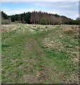
Woodland paths
Left to Eastfield and right to Hillend reservoir
Image: © Jim Smillie
Taken: 26 Apr 2021
0.19 miles
7
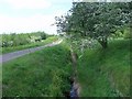
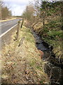
Hillend Reservoir, feeder
This feeder is abstracted via a sluice from a burn that flows from the direction of Eastfield on the Caldercruix - High Limerigg road. Reservoirs can never get enough water - even if they don't seem to need it.
Image: © Robert Murray
Taken: 3 Jun 2011
0.19 miles
8
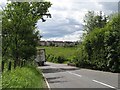
B825, Caldercruix
Approaching Caldercruix from the north, past Eastfield Wood.
Image: © Richard Webb
Taken: 13 Jun 2008
0.19 miles
9
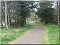
Sparkling road
Route 75 in Caldercruix - stay on the road or you will meet broken glass and possibly those who break the glass.
Image: © Richard Webb
Taken: 24 Apr 2014
0.20 miles
10
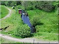
Caldercruix, The North Calder Water
The burn flowing away from the reservoir through the SEPA monitoring station.
In the hey days of the Caldercruix industrial era a weir positioned just at the bend after the SEPA station abstracted much of the flow to supply the nearby large Glengowan print works via a lade.
Image: © Robert Murray
Taken: 3 Jun 2011
0.21 miles