
IMAGES TAKEN NEAR TO
Cranston Avenue, AIRDRIE, ML6 7FD
Introduction
This page details the photographs taken nearby to Cranston Avenue, ML6 7FD by members of the Geograph project.
The Geograph project started in 2005 with the aim of publishing, organising and preserving representative images for every square kilometre of Great Britain, Ireland and the Isle of Man.

There are currently over 7.5m images from over14,400 individuals and you can help contribute to the project by visiting https://www.geograph.org.uk
Image Map
Images are licensed for reuse under creativecommons.org/licenses/by-sa/2.0
Notes
- Clicking on the map will re-center to the selected point.
- The higher the marker number, the further away the image location is from the centre of the postcode.
Image Listing (7 Images Found)
Images are licensed for reuse under creativecommons.org/licenses/by-sa/2.0
Image
Details
Distance
1
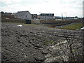
View to new estate
One of several phases of house building planned for the land belonging to the former Boots factory.
Image: © Jim Smillie
Taken: 18 Apr 2009
0.05 miles
2
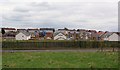
New Housing Development, Clarkston
Image: © Texas Radio and The Big Beat
Taken: 2 May 2010
0.06 miles
3
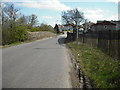
Narrow bridge
At the Clarkston end of busy minor road which leads from Rawyards.
Image: © Jim Smillie
Taken: 18 Apr 2009
0.12 miles
4
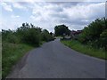
Airdrie, Clarkston
The B8058 crosses the old railway branch line that served the Boots factory at Rawyards.
Image: © Robert Murray
Taken: 4 Jul 2011
0.13 miles
5
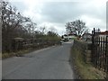
Road bridge crossing dismantled railway
Carres the B8058 Burnhead Road.
Image: © Stephen Sweeney
Taken: 19 Mar 2014
0.14 miles
6
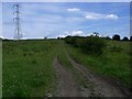
Airdrie, Clarkston
This Right of Way (SM8 and SM9) leads to the ruins of Burnhead Farm and thence to Ballochney Road area of Plains (variously The Plains). On the way there it skirts a quarry.
Image: © Robert Murray
Taken: 4 Jul 2011
0.15 miles
7
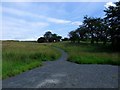
Airdrie, core path
Leads uphill to an old reservoir and open land which might be developed as a path network.
Image: © Robert Murray
Taken: 4 Jul 2011
0.24 miles