IMAGES TAKEN NEAR TO
West Thornlie Street, WISHAW, ML2 7AR

Introduction

This page details the photographs taken nearby to West Thornlie Street, ML2 7AR by members of the Geograph project.

The Geograph project started in 2005 with the aim of publishing, organising and preserving representative images for every square kilometre of Great Britain, Ireland and the Isle of Man.

There are currently over 7.5m images from over14,400 individuals and you can help contribute to the project by visiting https://www.geograph.org.uk

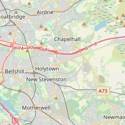
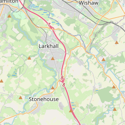
Image Map (36 Images)


Images are licensed for reuse under creativecommons.org/licenses/by-sa/2.0
Notes
  • Clicking on the map will re-center to the selected point.
  • The higher the marker number, the further away the image location is from the centre of the postcode.

Image Listing (36 Images Found)

Images are licensed for reuse under creativecommons.org/licenses/by-sa/2.0
  • ...
Image
Details
Distance
1
Former Church: Wishaw
Originally Thornlie Church then South Wishaw; now a Funeral Home
Image: © Jim Smillie Taken: 27 Feb 2023
0.06 miles
2
Girdwoods Bar
Bar on Hill Street.
Image: © Ross Watson Taken: 23 Jun 2012
0.06 miles
3
Caledonian Road (B7032), Wishaw
Image: © JThomas Taken: 15 Sep 2021
0.06 miles
4
Train departing Wishaw Station
Next stop Carluke
Image: © Jim Smillie Taken: 27 Feb 2023
0.07 miles
5
Church in Wishaw
Former Thornlie Church, now amalgamated with Chalmers Church nearby, jointly known as South Wishaw Parish Church. This building is not now used for worship, but is still in use by the joint congregation for various functions.
Image: © Iain Thompson Taken: 26 Dec 2005
0.07 miles
6
Sandstone building: Station Road
Contains 8 dwellings: Lower 4 accessed from front and upper 4 from rear
Image: © Jim Smillie Taken: 27 Feb 2023
0.08 miles
7
Wishaw Station stairs
Stairs giving access to Wishaw railway station and Hill Street.
Image: © Ross Watson Taken: 23 Jun 2012
0.09 miles
8
Wishaw (Central) railway station, Lanarkshire
Opened in 1880 by the Caledonian Railway on a loop line know as the Wishaw Deviation between Holytown and Law. Between 1880 and 1965 the station was known as 'Central' to distinguish it from 'Wishaw South' station, nearby. View south east towards Law and Carluke.
Image: © Nigel Thompson Taken: 15 Apr 2014
0.11 miles
9
Wishaw Station
View north west along the northern platform of the station with a group of passengers just having left the train from Glasgow Central to Lanark.
Image: © Nigel Mykura Taken: 27 Nov 2010
0.11 miles
10
Wishaw Railway Station
View from Alexander Street and across a small green area towards the railway station.
Image: © Richard Webb Taken: 24 Oct 2011
0.11 miles
  • ...