IMAGES TAKEN NEAR TO
Stanbridge Way, BEDFORD, MK45 3LX
Introduction
This page details the photographs taken nearby to Stanbridge Way, MK45 3LX by members of the Geograph project.
The Geograph project started in 2005 with the aim of publishing, organising and preserving representative images for every square kilometre of Great Britain, Ireland and the Isle of Man.

There are currently over 7.5m images from over14,400 individuals and you can help contribute to the project by visiting https://www.geograph.org.uk
Image Map
Images are licensed for reuse under creativecommons.org/licenses/by-sa/2.0
Notes
- Clicking on the map will re-center to the selected point.
- The higher the marker number, the further away the image location is from the centre of the postcode.
Image Listing (10 Images Found)
Images are licensed for reuse under creativecommons.org/licenses/by-sa/2.0
Image
Details
Distance
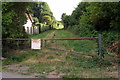
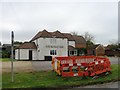
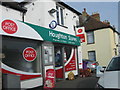
2
Bungalow on Bedford Road, Houghton Conquest
Image: © David Howard
Taken: 28 Jul 2016
0.10 miles
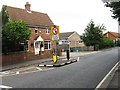
3
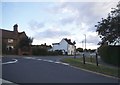
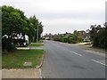
Bedford Road at the junction of Chapel End
Image: © David Howard
Taken: 28 Jul 2016
0.13 miles
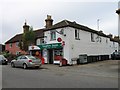
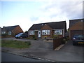
8
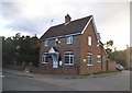
House on High Street, Conquest End
On the corner of The Orchards
Image: © David Howard
Taken: 28 Jul 2016
0.23 miles