IMAGES TAKEN NEAR TO
Limbersey Lane, BEDFORD, MK45 2EA
Introduction
This page details the photographs taken nearby to Limbersey Lane, MK45 2EA by members of the Geograph project.
The Geograph project started in 2005 with the aim of publishing, organising and preserving representative images for every square kilometre of Great Britain, Ireland and the Isle of Man.

There are currently over 7.5m images from over14,400 individuals and you can help contribute to the project by visiting https://www.geograph.org.uk
Image Map
Images are licensed for reuse under creativecommons.org/licenses/by-sa/2.0
Notes
- Clicking on the map will re-center to the selected point.
- The higher the marker number, the further away the image location is from the centre of the postcode.
Image Listing (9 Images Found)
Images are licensed for reuse under creativecommons.org/licenses/by-sa/2.0
Image
Details
Distance
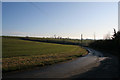
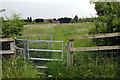
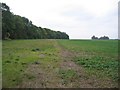
4
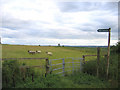
Sheep on the footpath, Maulden, Beds
– view S from Limbersey Lane.
Image: © Rodney Burton
Taken: 22 Jun 2006
0.13 miles
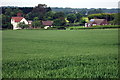
7
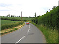
Limbersey Lane, Maulden, Beds
the road down from Haynes West End into the village.
Image: © Rodney Burton
Taken: 22 Jun 2006
0.19 miles
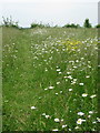
8
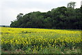
Maulden Wood and farmland, Maulden, Beds
View W along the boulder-clay capped Greensand ridge.
Image: © Rodney Burton
Taken: 12 Oct 2005
0.21 miles