IMAGES TAKEN NEAR TO
Flitton Hill, BEDFORD, MK45 2BE
Introduction
This page details the photographs taken nearby to Flitton Hill, MK45 2BE by members of the Geograph project.
The Geograph project started in 2005 with the aim of publishing, organising and preserving representative images for every square kilometre of Great Britain, Ireland and the Isle of Man.

There are currently over 7.5m images from over14,400 individuals and you can help contribute to the project by visiting https://www.geograph.org.uk
Image Map
Images are licensed for reuse under creativecommons.org/licenses/by-sa/2.0
Notes
- Clicking on the map will re-center to the selected point.
- The higher the marker number, the further away the image location is from the centre of the postcode.
Image Listing (14 Images Found)
Images are licensed for reuse under creativecommons.org/licenses/by-sa/2.0
Image
Details
Distance
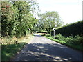
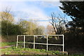
1

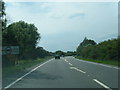
Farm shop
Farm shop tucked away at the bottom of Flitton Hill near the A507
Image: © Barry Ephgrave
Taken: 4 Sep 2010
0.01 miles
4
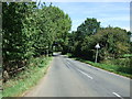
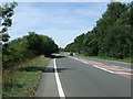
Minor road near Hollington Basin
Heading north towards the A507.
Image: © JThomas
Taken: 22 Aug 2015
0.12 miles
10
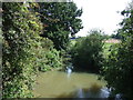
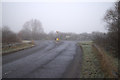
Drainage ditch by Silsoe Road, Hollington
Image: © David Howard
Taken: 3 Apr 2019
0.18 miles