
IMAGES TAKEN NEAR TO
Burridges Close, BEDFORD, MK43 7QE
Introduction
This page details the photographs taken nearby to Burridges Close, MK43 7QE by members of the Geograph project.
The Geograph project started in 2005 with the aim of publishing, organising and preserving representative images for every square kilometre of Great Britain, Ireland and the Isle of Man.

There are currently over 7.5m images from over14,400 individuals and you can help contribute to the project by visiting https://www.geograph.org.uk
Image Map
Images are licensed for reuse under creativecommons.org/licenses/by-sa/2.0
Notes
- Clicking on the map will re-center to the selected point.
- The higher the marker number, the further away the image location is from the centre of the postcode.
Image Listing (65 Images Found)
Images are licensed for reuse under creativecommons.org/licenses/by-sa/2.0
Image
Details
Distance
2
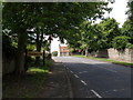
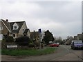
Park road, Stevington
Typical Bedfordshire village sign with village name in the middle and county coat of arms on the outside. Recent changes in the local authority boundaries may mean new signs.
Image: © Michael Trolove
Taken: 14 Jun 2009
0.06 miles
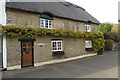
5
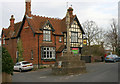
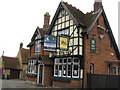
Former 'Red Lion' public house, Stevington
The 'Red Lion' has been closed for at least three years.
Image: © David Kemp
Taken: 17 Mar 2014
0.08 miles
7

Footpath around the back of Stevington
A short cut to the church from the east end of Stevington.
Image: © Michael Trolove
Taken: 14 Jun 2009
0.08 miles
8
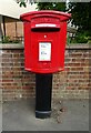
Elizabeth II postbox on Park Road
Postbox No. MK43 126.
Image: © JThomas
Taken: 21 Sep 2022
0.08 miles
10
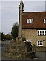
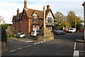
Preaching Village Cross, Stevington
The Village Cross was listed by the former Department of Environment in July 1964 as Grade II*, of special interest and particularly important. The department dated it to the 14th century.
On the cross junction in the centre of the village.
Image: © Vivien Hughes
Taken: 6 Apr 2010
0.09 miles