IMAGES TAKEN NEAR TO
Hanslope Road, MILTON KEYNES, MK19 7HD
Introduction
This page details the photographs taken nearby to Hanslope Road, MK19 7HD by members of the Geograph project.
The Geograph project started in 2005 with the aim of publishing, organising and preserving representative images for every square kilometre of Great Britain, Ireland and the Isle of Man.

There are currently over 7.5m images from over14,400 individuals and you can help contribute to the project by visiting https://www.geograph.org.uk
Image Map
Images are licensed for reuse under creativecommons.org/licenses/by-sa/2.0
Notes
- Clicking on the map will re-center to the selected point.
- The higher the marker number, the further away the image location is from the centre of the postcode.
Image Listing (32 Images Found)
Images are licensed for reuse under creativecommons.org/licenses/by-sa/2.0
Image
Details
Distance
2
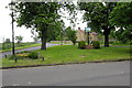
Road to Hanslope and the village sign
Image: © Philip Jeffrey
Taken: 20 May 2012
0.15 miles
3
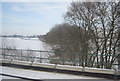
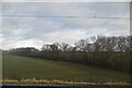
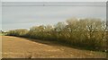
A line of trees leading away from the West Coast Main Line
Image: © N Chadwick
Taken: 19 Dec 2010
0.15 miles
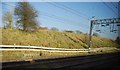
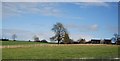
5
Castlethorpe. Green at the junction of Station Rd and North St
Image: © Robert Eva
Taken: 8 May 2017
0.16 miles
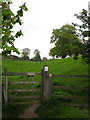
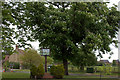
6
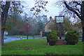
Top of Station Road, Castlethorpe
There is a grassy triangle where Station Road, North Street and Hanslope Road meet on the edge of Castlethorpe village. The space has been used for a village sign depicting the church.
Image: © Stephen McKay
Taken: 16 Nov 2019
0.16 miles