IMAGES TAKEN NEAR TO
Thornhill, BUCKINGHAM, MK18 2EH
Introduction
This page details the photographs taken nearby to Thornhill, MK18 2EH by members of the Geograph project.
The Geograph project started in 2005 with the aim of publishing, organising and preserving representative images for every square kilometre of Great Britain, Ireland and the Isle of Man.

There are currently over 7.5m images from over14,400 individuals and you can help contribute to the project by visiting https://www.geograph.org.uk
Image Map
Images are licensed for reuse under creativecommons.org/licenses/by-sa/2.0
Notes
- Clicking on the map will re-center to the selected point.
- The higher the marker number, the further away the image location is from the centre of the postcode.
Image Listing (8 Images Found)
Images are licensed for reuse under creativecommons.org/licenses/by-sa/2.0
Image
Details
Distance
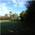
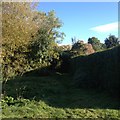
5
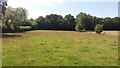
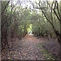
Path heading to Thornborough
Path heading into the woods to Thornborough
Image: © Shaun Ferguson
Taken: 20 Aug 2020
0.14 miles
8
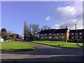
Nash Road Junction, Thornborough
Nash Road, Thornborough at its junction with The Green and Bridge Street. The Two Brewers is off-camera to the bottom right.
Image: © mick finn
Taken: 12 Nov 2008
0.23 miles