IMAGES TAKEN NEAR TO
Mursley Road, MILTON KEYNES, MK17 0PA
Introduction
This page details the photographs taken nearby to Mursley Road, MK17 0PA by members of the Geograph project.
The Geograph project started in 2005 with the aim of publishing, organising and preserving representative images for every square kilometre of Great Britain, Ireland and the Isle of Man.

There are currently over 7.5m images from over14,400 individuals and you can help contribute to the project by visiting https://www.geograph.org.uk
Image Map
Images are licensed for reuse under creativecommons.org/licenses/by-sa/2.0
Notes
- Clicking on the map will re-center to the selected point.
- The higher the marker number, the further away the image location is from the centre of the postcode.
Image Listing (38 Images Found)
Images are licensed for reuse under creativecommons.org/licenses/by-sa/2.0
Image
Details
Distance
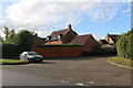
8
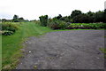
Public Footpath
A rather well maintained footpath that heads towards Horwood House.
Image: © Mr Biz
Taken: 15 Jun 2008
0.16 miles
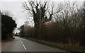
9
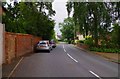
Church Street, Little Horwood, Bucks
In this direction the road is heading for the village of Mursley.
Image: © P L Chadwick
Taken: 20 Jul 2014
0.16 miles
